Distance to Eaton, Ohio

Calculating Your Route
Just a moment while we process your request...
Location Information
-
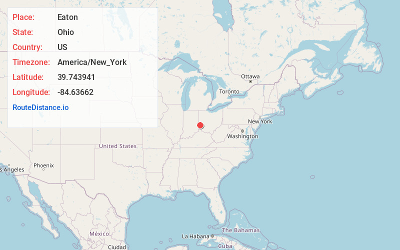
Full AddressEaton, OH 45320
-
Coordinates39.7439405, -84.6366201
-
LocationEaton , Ohio , US
-
TimezoneAmerica/New_York
-
Current Local Time4:49:51 PM America/New_YorkTuesday, July 1, 2025
-
Page Views0
About Eaton
Eaton is a city in and the county seat of Preble County, Ohio, United States, approximately 24 miles west of Dayton. The population was 8,375 at the 2020 census, down 0.4% from the population of 8,407 at the 2010 census.


Nearby Places
Found 10 places within 50 miles

Richmond
14.7 mi
23.7 km
Richmond, IN
Get directions

Clayton
16.8 mi
27.0 km
Clayton, OH
Get directions

Oxford
17.4 mi
28.0 km
Oxford, OH 45056
Get directions

Trotwood
17.7 mi
28.5 km
Trotwood, OH
Get directions

Miamisburg
19.8 mi
31.9 km
Miamisburg, OH
Get directions

Englewood
20.0 mi
32.2 km
Englewood, OH
Get directions

Middletown
20.3 mi
32.7 km
Middletown, OH
Get directions

Trenton
20.5 mi
33.0 km
Trenton, OH
Get directions

West Carrollton
21.0 mi
33.8 km
West Carrollton, OH
Get directions

Franklin
21.8 mi
35.1 km
Franklin, OH 45005
Get directions
Location Links
Local Weather
Weather Information
Coming soon!
Location Map
Static map view of Eaton, Ohio
Browse Places by Distance
Places within specific distances from Eaton
Short Distances
Long Distances
Click any distance to see all places within that range from Eaton. Distances shown in miles (1 mile ≈ 1.61 kilometers).