Distance to Camptonville, California

Calculating Your Route
Just a moment while we process your request...
Location Information
-
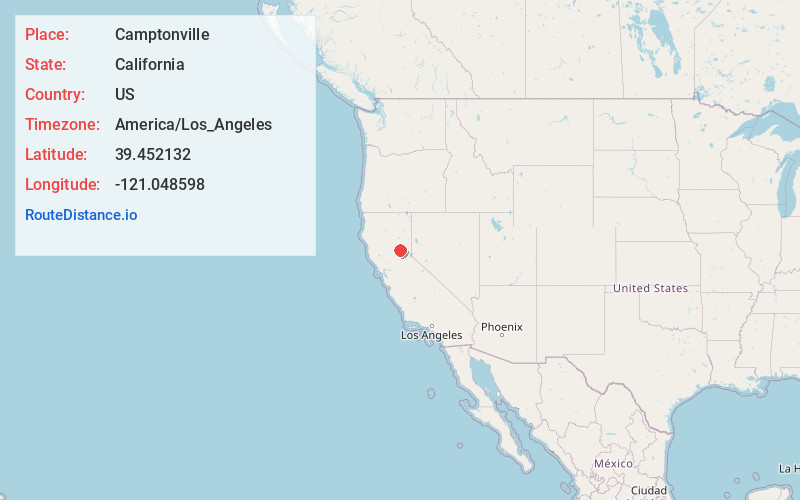
Full AddressCamptonville, CA 95922
-
Coordinates39.4521323, -121.048598
-
LocationCamptonville , California , US
-
TimezoneAmerica/Los_Angeles
-
Current Local Time3:02:06 AM America/Los_AngelesThursday, June 5, 2025
-
Page Views0
About Camptonville
Camptonville is a small town and census-designated place located in northeastern Yuba County, California. The town is located 36 miles northeast of Marysville, off Highway 49 between Downieville and Nevada City.


Nearby Places
Found 10 places within 50 miles

Clipper Mills
8.3 mi
13.4 km
Clipper Mills, CA 95930
Get directions

Dobbins
9.9 mi
15.9 km
Dobbins, CA
Get directions

Forbestown
12.5 mi
20.1 km
Forbestown, CA
Get directions

Challenge-Brownsville
12.7 mi
20.4 km
Challenge-Brownsville, CA
Get directions

Nevada City
13.3 mi
21.4 km
Nevada City, CA 95959
Get directions

Rough and Ready
16.0 mi
25.7 km
Rough and Ready, CA
Get directions

Grass Valley
16.1 mi
25.9 km
Grass Valley, CA
Get directions

Lake Wildwood
17.2 mi
27.7 km
Lake Wildwood, CA 95946
Get directions

Penn Valley
19.3 mi
31.1 km
Penn Valley, CA 95946
Get directions

Bangor
19.5 mi
31.4 km
Bangor, CA
Get directions
Location Links
Local Weather
Weather Information
Coming soon!
Location Map
Static map view of Camptonville, California
Browse Places by Distance
Places within specific distances from Camptonville
Short Distances
Long Distances
Click any distance to see all places within that range from Camptonville. Distances shown in miles (1 mile ≈ 1.61 kilometers).