Distance to Challenge-Brownsville, California

Calculating Your Route
Just a moment while we process your request...
Location Information
-
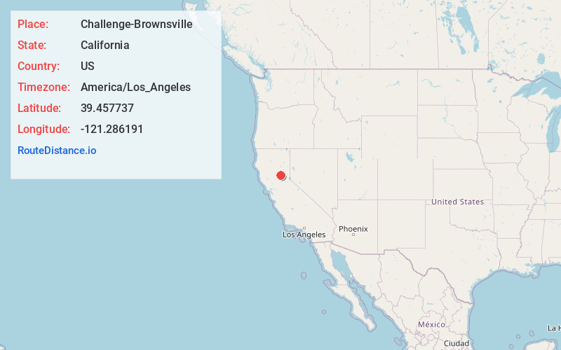
Full AddressChallenge-Brownsville, CA
-
Coordinates39.4577374, -121.2861908
-
LocationChallenge-Brownsville , California , US
-
TimezoneAmerica/Los_Angeles
-
Current Local Time7:36:48 AM America/Los_AngelesSaturday, June 14, 2025
-
Page Views0
About Challenge-Brownsville
Challenge–Brownsville is a census-designated place in Yuba County, California, United States. The population was 1,161 according to the 2020 Census.
Despite strong opposition from local community members, Asatru Folk Assembly, a white supremacist religious group, moved there in 2015.

Nearby Places
Found 10 places within 50 miles

Oroville East
10.5 mi
16.9 km
Oroville East, CA 95966
Get directions

Kelly Ridge
10.6 mi
17.1 km
Kelly Ridge, CA 95966
Get directions

Loma Rica
12.3 mi
19.8 km
Loma Rica, CA
Get directions

Berry Creek
13.1 mi
21.1 km
Berry Creek, CA
Get directions

Palermo
13.5 mi
21.7 km
Palermo, CA
Get directions

South Oroville
13.8 mi
22.2 km
South Oroville, CA 95966
Get directions

Oroville
15.0 mi
24.1 km
Oroville, CA
Get directions

Lake Wildwood
16.2 mi
26.1 km
Lake Wildwood, CA 95946
Get directions

Thermalito
16.5 mi
26.6 km
Thermalito, CA 95965
Get directions

Penn Valley
18.8 mi
30.3 km
Penn Valley, CA 95946
Get directions
Location Links
Local Weather
Weather Information
Coming soon!
Location Map
Static map view of Challenge-Brownsville, California
Browse Places by Distance
Places within specific distances from Challenge-Brownsville
Short Distances
Long Distances
Click any distance to see all places within that range from Challenge-Brownsville. Distances shown in miles (1 mile ≈ 1.61 kilometers).