Distance to Camptown, Virginia

Calculating Your Route
Just a moment while we process your request...
Location Information
-
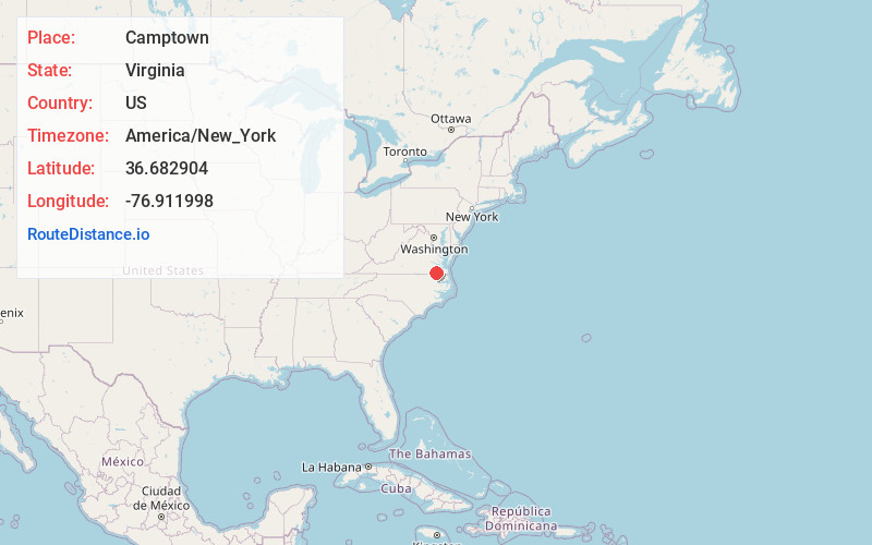
Full AddressCamptown, VA 23851
-
Coordinates36.6829041, -76.9119982
-
LocationCamptown , Virginia , US
-
TimezoneAmerica/New_York
-
Current Local Time5:42:37 PM America/New_YorkTuesday, June 17, 2025
-
Page Views0
About Camptown
Camptown is a census-designated place in Isle of Wight County, Virginia, United States, lying just east of Franklin. The population as of the 2010 census was 766. The International Paper mill is here along with a Black
community known as Camptown.
Nearby Places
Found 10 places within 50 miles

Franklin
0.7 mi
1.1 km
Franklin, VA 23851
Get directions

Sedley
7.6 mi
12.2 km
Sedley, VA
Get directions
Courtland
8.9 mi
14.3 km
Courtland, VA 23837
Get directions

Windsor
12.7 mi
20.4 km
Windsor, VA 23487
Get directions

Suffolk
18.5 mi
29.8 km
Suffolk, VA
Get directions

Murfreesboro
19.6 mi
31.5 km
Murfreesboro, NC
Get directions
Winton
19.9 mi
32.0 km
Winton, NC 27986
Get directions

Wakefield
20.2 mi
32.5 km
Wakefield, VA 23888
Get directions
Conway
24.4 mi
39.3 km
Conway, NC 27820
Get directions
Benns Church
25.2 mi
40.6 km
Benns Church, VA
Get directions
Location Links
Local Weather
Weather Information
Coming soon!
Location Map
Static map view of Camptown, Virginia
Browse Places by Distance
Places within specific distances from Camptown
Short Distances
Long Distances
Click any distance to see all places within that range from Camptown. Distances shown in miles (1 mile ≈ 1.61 kilometers).