Distance to Candleglo Village, Indiana

Calculating Your Route
Just a moment while we process your request...
Location Information
-
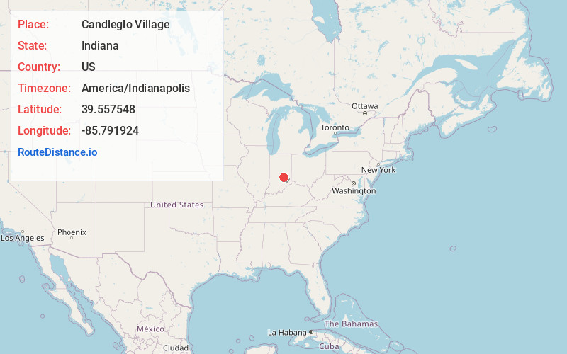
Full AddressCandleglo Village, Marion Township, IN 46176
-
Coordinates39.5575477, -85.7919239
-
LocationMarion Township , Indiana , US
-
TimezoneAmerica/Indianapolis
-
Page Views0
Nearby Places
Found 10 places within 50 miles

Beech Brook
0.5 mi
0.8 km
Beech Brook, Addison Township, IN 46176
Get directions
Hildebrand Village
0.8 mi
1.3 km
Hildebrand Village, Shelbyville, IN 46176
Get directions
Knighthood Grove
1.9 mi
3.1 km
Knighthood Grove, Addison Township, IN 46176
Get directions

Shelbyville
2.6 mi
4.2 km
Shelbyville, IN 46176
Get directions
Knighthood Village
3.0 mi
4.8 km
Knighthood Village, Marion Township, IN 46176
Get directions
Crestmoor
3.4 mi
5.5 km
Crestmoor, Shelbyville, IN 46176
Get directions

Fairland
4.3 mi
6.9 km
Fairland, IN 46126
Get directions

Boggstown
6.5 mi
10.5 km
Boggstown, IN
Get directions
Rays Crossing
6.5 mi
10.5 km
Rays Crossing, Union Township, IN 46176
Get directions
Sugar Creek Township
6.6 mi
10.6 km
Sugar Creek Township, IN
Get directions
Location Links
Local Weather
Weather Information
Coming soon!
Location Map
Static map view of Candleglo Village, Indiana
Browse Places by Distance
Places within specific distances from Candleglo Village
Short Distances
Long Distances
Click any distance to see all places within that range from Candleglo Village. Distances shown in miles (1 mile ≈ 1.61 kilometers).