Distance to Rays Crossing, Indiana

Calculating Your Route
Just a moment while we process your request...
Location Information
-
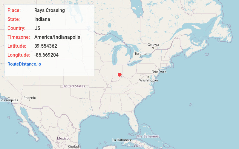
Full AddressRays Crossing, Union Township, IN 46176
-
Coordinates39.5543617, -85.669204
-
LocationUnion Township , Indiana , US
-
TimezoneAmerica/Indianapolis
-
Page Views0
Nearby Places
Found 10 places within 50 miles

Blue Ridge
2.9 mi
4.7 km
Blue Ridge, IN
Get directions
Manilla
3.0 mi
4.8 km
Manilla, IN 46150
Get directions
Knighthood Village
4.2 mi
6.8 km
Knighthood Village, Marion Township, IN 46176
Get directions
Knighthood Grove
4.7 mi
7.6 km
Knighthood Grove, Addison Township, IN 46176
Get directions
Homer
5.2 mi
8.4 km
Homer, IN
Get directions
Prescott
5.6 mi
9.0 km
Prescott, Shelby Township, IN 46176
Get directions
Crestmoor
5.8 mi
9.3 km
Crestmoor, Shelbyville, IN 46176
Get directions
Gowdy
6.2 mi
10.0 km
Gowdy, Orange Township, IN 46173
Get directions

Shelbyville
6.2 mi
10.0 km
Shelbyville, IN 46176
Get directions
Hildebrand Village
6.2 mi
10.0 km
Hildebrand Village, Shelbyville, IN 46176
Get directions
Location Links
Local Weather
Weather Information
Coming soon!
Location Map
Static map view of Rays Crossing, Indiana
Browse Places by Distance
Places within specific distances from Rays Crossing
Short Distances
Long Distances
Click any distance to see all places within that range from Rays Crossing. Distances shown in miles (1 mile ≈ 1.61 kilometers).