Distance to Homer, Indiana

Calculating Your Route
Just a moment while we process your request...
Location Information
-
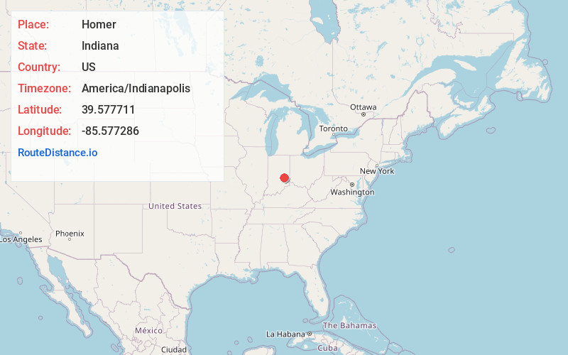
Full AddressHomer, IN
-
Coordinates39.5777113, -85.5772858
-
LocationHomer , Indiana , US
-
TimezoneAmerica/Indianapolis
-
Page Views0
About Homer
Homer is an unincorporated community in central Walker Township, Rush County, in the U.S. state of Indiana. Although Homer is unincorporated, it has a post office, with the ZIP code of 46146.
Nearby Places
Found 10 places within 50 miles

Manilla
2.3 mi
3.7 km
Manilla, IN 46150
Get directions
Arlington
4.5 mi
7.2 km
Arlington, IN
Get directions
Gwynneville
6.8 mi
10.9 km
Gwynneville, IN
Get directions

Rushville
7.3 mi
11.7 km
Rushville, IN 46173
Get directions
Milroy
8.0 mi
12.9 km
Milroy, IN
Get directions

Morristown
9.2 mi
14.8 km
Morristown, IN 46161
Get directions
Waldron
9.8 mi
15.8 km
Waldron, IN 46182
Get directions

St Paul
10.7 mi
17.2 km
St Paul, IN
Get directions

Carthage
11.1 mi
17.9 km
Carthage, IN 46115
Get directions
Richland
11.2 mi
18.0 km
Richland, IN 46173
Get directions
Location Links
Local Weather
Weather Information
Coming soon!
Location Map
Static map view of Homer, Indiana
Browse Places by Distance
Places within specific distances from Homer
Short Distances
Long Distances
Click any distance to see all places within that range from Homer. Distances shown in miles (1 mile ≈ 1.61 kilometers).