Distance to Arlington, Indiana

Calculating Your Route
Just a moment while we process your request...
Location Information
-
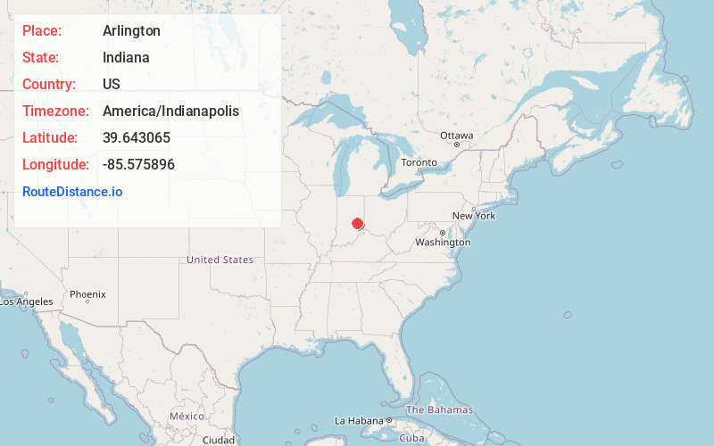
Full AddressArlington, IN
-
Coordinates39.643065, -85.5758961
-
LocationArlington , Indiana , US
-
TimezoneAmerica/Indianapolis
-
Page Views0
About Arlington
Arlington is an unincorporated community in Posey Township, in the northwestern part of Rush County, Indiana, United States. It lies just south of the B&O Railroad, on U.S. Route 52, 8 miles west of Rushville.
Nearby Places
Found 10 places within 50 miles

Carthage
6.6 mi
10.6 km
Carthage, IN 46115
Get directions

Morristown
6.9 mi
11.1 km
Morristown, IN 46161
Get directions

Rushville
7.3 mi
11.7 km
Rushville, IN 46173
Get directions

Knightstown
10.9 mi
17.5 km
Knightstown, IN 46148
Get directions

Milroy
11.6 mi
18.7 km
Milroy, IN
Get directions

Shelbyville
13.6 mi
21.9 km
Shelbyville, IN 46176
Get directions
Richland
13.9 mi
22.4 km
Richland, IN 46173
Get directions
Waldron
14.0 mi
22.5 km
Waldron, IN 46182
Get directions

Greenfield
14.2 mi
22.9 km
Greenfield, IN 46140
Get directions

St Paul
15.1 mi
24.3 km
St Paul, IN
Get directions
Location Links
Local Weather
Weather Information
Coming soon!
Location Map
Static map view of Arlington, Indiana
Browse Places by Distance
Places within specific distances from Arlington
Short Distances
Long Distances
Click any distance to see all places within that range from Arlington. Distances shown in miles (1 mile ≈ 1.61 kilometers).