Distance to Richland, Indiana

Calculating Your Route
Just a moment while we process your request...
Location Information
-
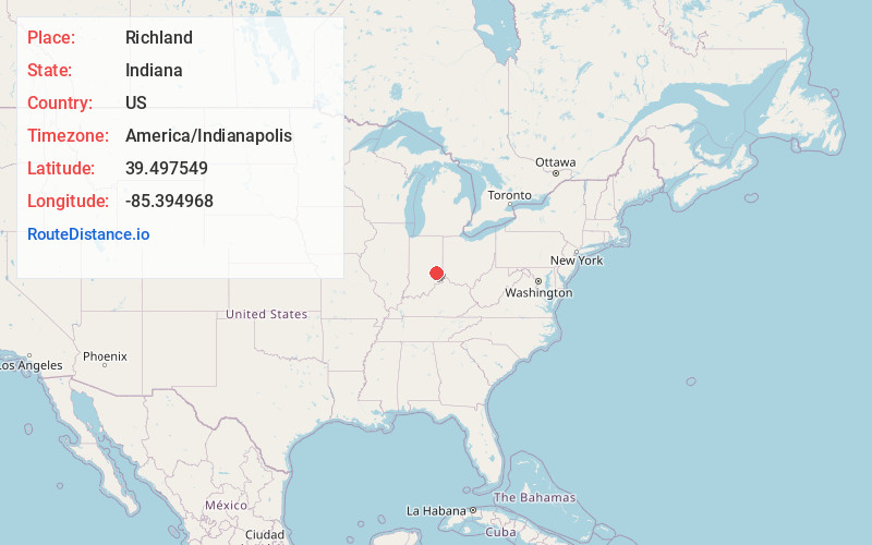
Full AddressRichland, IN 46173
-
Coordinates39.4975485, -85.3949681
-
LocationRichland , Indiana , US
-
TimezoneAmerica/Indianapolis
-
Page Views0
About Richland
Richland is an unincorporated community in western Richland Township, Rush County, Indiana, United States. It lies along State Road 244, south of the city of Rushville, the county seat of Rush County.
Nearby Places
Found 10 places within 50 miles

Milroy
3.9 mi
6.3 km
Milroy, IN
Get directions
Lake Santee
6.8 mi
10.9 km
Lake Santee, IN 47240
Get directions

Rushville
8.2 mi
13.2 km
Rushville, IN 46173
Get directions

Laurel
11.1 mi
17.9 km
Laurel, IN
Get directions

Greensburg
12.0 mi
19.3 km
Greensburg, IN 47240
Get directions

St Paul
13.3 mi
21.4 km
St Paul, IN
Get directions
Waldron
14.8 mi
23.8 km
Waldron, IN 46182
Get directions

Oldenburg
14.9 mi
24.0 km
Oldenburg, IN
Get directions

Batesville
16.5 mi
26.6 km
Batesville, IN 47006
Get directions

Connersville
16.7 mi
26.9 km
Connersville, IN 47331
Get directions
Location Links
Local Weather
Weather Information
Coming soon!
Location Map
Static map view of Richland, Indiana
Browse Places by Distance
Places within specific distances from Richland
Short Distances
Long Distances
Click any distance to see all places within that range from Richland. Distances shown in miles (1 mile ≈ 1.61 kilometers).