Distance to Knightstown, Indiana

Calculating Your Route
Just a moment while we process your request...
Location Information
-
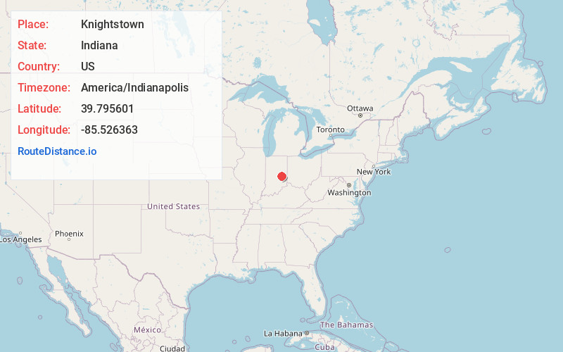
Full AddressKnightstown, IN 46148
-
Coordinates39.7956007, -85.5263629
-
LocationKnightstown , Indiana , US
-
TimezoneAmerica/Indianapolis
-
Website
-
Page Views0
About Knightstown
Knightstown is a town in Wayne Township, Henry County, Indiana, adjacent to Rush County, along the Big Blue River. The population was 2,140 at the 2020 census. It is approximately thirty-two miles east of Indianapolis.
Knightstown was used in the 1986 film Hoosiers. The Hoosier Gym was used in the filming of the film.


Nearby Places
Found 10 places within 50 miles

New Castle
12.4 mi
20.0 km
New Castle, IN 47362
Get directions

Greenfield
12.9 mi
20.8 km
Greenfield, IN 46140
Get directions

Rushville
13.6 mi
21.9 km
Rushville, IN 46173
Get directions

Middletown
18.1 mi
29.1 km
Middletown, IN 47356
Get directions

Pendleton
18.4 mi
29.6 km
Pendleton, IN
Get directions

Ingalls
18.5 mi
29.8 km
Ingalls, IN
Get directions

Fortville
19.5 mi
31.4 km
Fortville, IN
Get directions

New Palestine
19.9 mi
32.0 km
New Palestine, IN 46163
Get directions

McCordsville
22.0 mi
35.4 km
McCordsville, IN
Get directions

Chesterfield
22.3 mi
35.9 km
Chesterfield, IN
Get directions
Location Links
Local Weather
Weather Information
Coming soon!
Location Map
Static map view of Knightstown, Indiana
Browse Places by Distance
Places within specific distances from Knightstown
Short Distances
Long Distances
Click any distance to see all places within that range from Knightstown. Distances shown in miles (1 mile ≈ 1.61 kilometers).