Distance to Cannelton, Pennsylvania

Calculating Your Route
Just a moment while we process your request...
Location Information
-
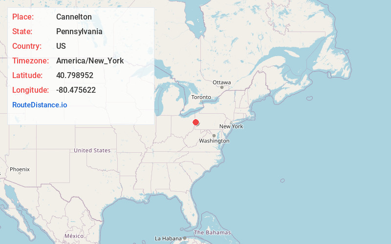
Full AddressCannelton, Darlington Township, PA 16115
-
Coordinates40.798952, -80.4756222
-
LocationDarlington Township , Pennsylvania , US
-
TimezoneAmerica/New_York
-
Current Local Time12:53:15 PM America/New_YorkMonday, June 23, 2025
-
Page Views0
About Cannelton
Cannelton is an unincorporated community located in Darlington Township, Beaver County, Pennsylvania, approximately three miles west of Darlington. Settled in 1795, the Darlington Cannel Coal Railroad was built there starting in 1852 eventually connecting to the Pennsylvania Railroad in New Galilee, Pennsylvania.
Nearby Places
Found 10 places within 50 miles

Darlington
2.8 mi
4.5 km
Darlington, PA 16115
Get directions

Negley
3.4 mi
5.5 km
Negley, OH
Get directions

Enon Valley
4.0 mi
6.4 km
Enon Valley, PA 16120
Get directions

East Palestine
4.2 mi
6.8 km
East Palestine, OH 44413
Get directions

South Beaver Township
4.5 mi
7.2 km
South Beaver Township, PA
Get directions

New Galilee
4.7 mi
7.6 km
New Galilee, PA
Get directions

Union Ridge
5.5 mi
8.9 km
Union Ridge, Middleton Township, OH 44455
Get directions

Chippewa Township
5.6 mi
9.0 km
Chippewa Township, PA 15010
Get directions
Big Beaver
6.2 mi
10.0 km
Big Beaver, PA
Get directions
Unity
6.3 mi
10.1 km
Unity, OH 44413
Get directions
Location Links
Local Weather
Weather Information
Coming soon!
Location Map
Static map view of Cannelton, Pennsylvania
Browse Places by Distance
Places within specific distances from Cannelton
Short Distances
Long Distances
Click any distance to see all places within that range from Cannelton. Distances shown in miles (1 mile ≈ 1.61 kilometers).