Distance to East Palestine, Ohio

Calculating Your Route
Just a moment while we process your request...
Location Information
-
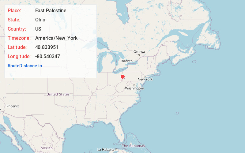
Full AddressEast Palestine, OH 44413
-
Coordinates40.8339509, -80.5403469
-
LocationEast Palestine , Ohio , US
-
TimezoneAmerica/New_York
-
Current Local Time8:37:06 PM America/New_YorkFriday, June 13, 2025
-
Website
-
Page Views0
About East Palestine
East Palestine is a village in Columbiana County, Ohio, United States. The population was 4,761 at the 2020 census. Located on the state's border with Pennsylvania, East Palestine is about 20 miles south of Youngstown and 40 miles northwest of Pittsburgh.


Nearby Places
Found 10 places within 50 miles

Columbiana
8.9 mi
14.3 km
Columbiana, OH 44408
Get directions

Chippewa Township
9.7 mi
15.6 km
Chippewa Township, PA 15010
Get directions

Brighton Township
12.2 mi
19.6 km
Brighton Township, PA
Get directions

Beaver Falls
12.9 mi
20.8 km
Beaver Falls, PA 15010
Get directions

North Sewickley Township
13.4 mi
21.6 km
North Sewickley Township, PA
Get directions

Ellwood City
13.4 mi
21.6 km
Ellwood City, PA 16117
Get directions

New Brighton
14.0 mi
22.5 km
New Brighton, PA 15066
Get directions

East Liverpool
15.0 mi
24.1 km
East Liverpool, OH 43920
Get directions

New Castle
15.5 mi
24.9 km
New Castle, PA
Get directions

Struthers
15.5 mi
24.9 km
Struthers, OH
Get directions
Location Links
Local Weather
Weather Information
Coming soon!
Location Map
Static map view of East Palestine, Ohio
Browse Places by Distance
Places within specific distances from East Palestine
Short Distances
Long Distances
Click any distance to see all places within that range from East Palestine. Distances shown in miles (1 mile ≈ 1.61 kilometers).