Distance to Cannon Township, Michigan

Calculating Your Route
Just a moment while we process your request...
Location Information
-
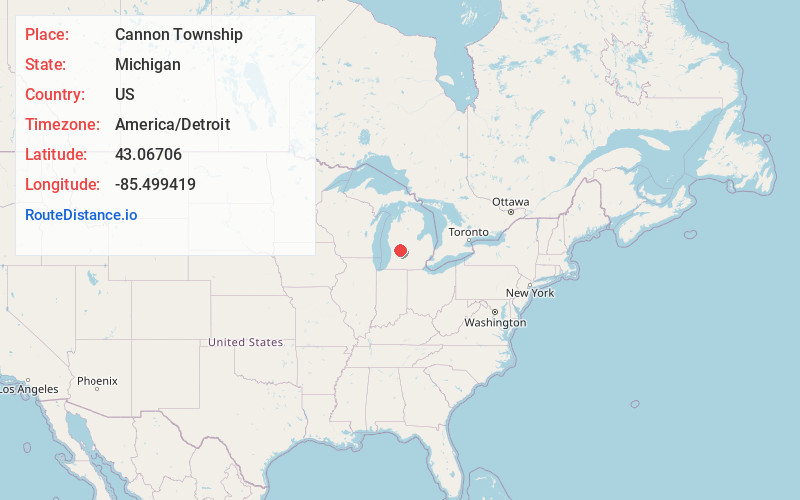
Full AddressCannon Township, MI
-
Coordinates43.0670601, -85.4994192
-
LocationCannon Township , Michigan , US
-
TimezoneAmerica/Detroit
-
Current Local Time1:59:58 AM America/DetroitTuesday, June 3, 2025
-
Page Views0
About Cannon Township
Cannon Township is a civil township of Kent County in the U.S. state of Michigan. The population was 13,336 at the 2010 census.
The township was organized as a survey township in 1845. It is part of the Grand Rapids metropolitan area and is located about 6.0 miles northeast of the city of Grand Rapids.


Nearby Places
Found 10 places within 50 miles
Cannonsburg
1.8 mi
2.9 km
Cannonsburg, MI
Get directions

Bostwick Lake
2.8 mi
4.5 km
Bostwick Lake, Cannon Township, MI 49341
Get directions

Chauncey
2.8 mi
4.5 km
Chauncey, Cannon Township, MI 49306
Get directions
Parnell
4.7 mi
7.6 km
Parnell, Grattan Township, MI 49301
Get directions

Rockford
4.8 mi
7.7 km
Rockford, MI
Get directions

Plainfield Township
5.5 mi
8.9 km
Plainfield Township, MI
Get directions
Northview
5.7 mi
9.2 km
Northview, MI 49525
Get directions

Grattan Township
6.3 mi
10.1 km
Grattan Township, MI
Get directions
Edgerton
7.3 mi
11.7 km
Edgerton, Algoma Township, MI 49341
Get directions

Ada Township
7.8 mi
12.6 km
Ada Township, MI
Get directions
Location Links
Local Weather
Weather Information
Coming soon!
Location Map
Static map view of Cannon Township, Michigan
Browse Places by Distance
Places within specific distances from Cannon Township
Short Distances
Long Distances
Click any distance to see all places within that range from Cannon Township. Distances shown in miles (1 mile ≈ 1.61 kilometers).