Distance to Cannondale, Connecticut

Calculating Your Route
Just a moment while we process your request...
Location Information
-
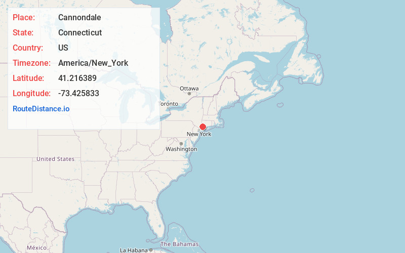
Full AddressCannondale, Wilton, CT 06897
-
Coordinates41.216389, -73.425833
-
NeighborhoodCannondale
-
LocationWilton , Connecticut , US
-
TimezoneAmerica/New_York
-
Current Local Time3:31:14 PM America/New_YorkThursday, June 5, 2025
-
Page Views0
About Cannondale
Cannondale is a census-designated place within the town of Wilton in Fairfield County, Connecticut, United States. It had a population of 141 at the 2010 census. The neighborhood consists of many old homes on large, almost rural lots now largely wooded. The English first settled the land in the 17th century.
Nearby Places
Found 10 places within 50 miles

Weston
2.6 mi
4.2 km
Weston, CT 06883
Get directions

Poplar Plains Brook
4.6 mi
7.4 km
Poplar Plains Brook, Westport, CT 06880
Get directions

Lewisboro
5.3 mi
8.5 km
Lewisboro, NY 10590
Get directions

New Canaan
6.0 mi
9.7 km
New Canaan, CT 06840
Get directions
Scotts Corners
6.7 mi
10.8 km
Scotts Corners, NY 10576
Get directions

Norwalk
7.1 mi
11.4 km
Norwalk, CT
Get directions

Pound Ridge
7.8 mi
12.6 km
Pound Ridge, NY 10576
Get directions

North Salem
11.2 mi
18.0 km
North Salem, NY 10560
Get directions

Bedford
11.4 mi
18.3 km
Bedford, NY 10506
Get directions
Mill Plain Swamp
11.9 mi
19.2 km
Mill Plain Swamp, Danbury, CT 06810
Get directions
Location Links
Local Weather
Weather Information
Coming soon!
Location Map
Static map view of Cannondale, Connecticut
Browse Places by Distance
Places within specific distances from Cannondale
Short Distances
Long Distances
Click any distance to see all places within that range from Cannondale. Distances shown in miles (1 mile ≈ 1.61 kilometers).