Distance to Cannonsburg, Kentucky

Calculating Your Route
Just a moment while we process your request...
Location Information
-
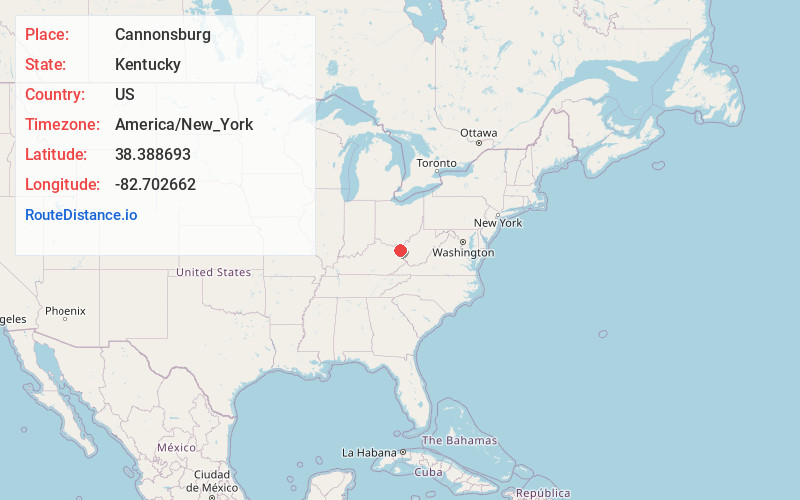
Full AddressCannonsburg, KY
-
Coordinates38.3886931, -82.702662
-
LocationCannonsburg , Kentucky , US
-
TimezoneAmerica/New_York
-
Current Local Time11:00:59 AM America/New_YorkWednesday, June 4, 2025
-
Page Views0
About Cannonsburg
Cannonsburg is a census-designated place in Boyd County, Kentucky, United States. As of the 2010 census, it had a population of 856. Cannonsburg is located 8 miles southwest of the city of Ashland, a major urban center in northeastern Kentucky.
Nearby Places
Found 10 places within 50 miles

Catlettsburg
5.6 mi
9.0 km
Catlettsburg, KY 41129
Get directions

South Point
6.6 mi
10.6 km
South Point, OH 45680
Get directions

Westwood
6.8 mi
10.9 km
Westwood, KY
Get directions

Kenova
6.8 mi
10.9 km
Kenova, WV
Get directions

Ashland
7.2 mi
11.6 km
Ashland, KY
Get directions
Bellefonte
7.2 mi
11.6 km
Bellefonte, KY 41101
Get directions

Ceredo
7.8 mi
12.6 km
Ceredo, WV
Get directions

Coal Grove
8.5 mi
13.7 km
Coal Grove, OH 45638
Get directions

Russell
8.9 mi
14.3 km
Russell, KY
Get directions

Burlington
9.1 mi
14.6 km
Burlington, OH 45680
Get directions
Location Links
Local Weather
Weather Information
Coming soon!
Location Map
Static map view of Cannonsburg, Kentucky
Browse Places by Distance
Places within specific distances from Cannonsburg
Short Distances
Long Distances
Click any distance to see all places within that range from Cannonsburg. Distances shown in miles (1 mile ≈ 1.61 kilometers).