Distance to and from Cape Fear River, North Carolina
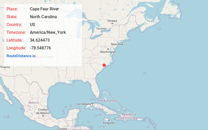
Cape Fear River, North Carolina
North Carolina
US
America/New_York
Location Information
-
Full AddressCape Fear River, North Carolina
-
Coordinates34.6244731, -78.5487763
-
LocationNorth Carolina , US
-
TimezoneAmerica/New_York
-
Current Local Time4:49:19 PM America/New_YorkSaturday, May 3, 2025
-
Page Views0
Directions to Nearest Cities


Nearby Places
Found 10 places within 50 miles

Elizabethtown
3.2 mi
5.1 km
Elizabethtown, NC 28337
Get directions

White Lake
3.9 mi
6.3 km
White Lake, NC 28337
Get directions

Dublin
10.3 mi
16.6 km
Dublin, NC
Get directions

Clarkton
11.3 mi
18.2 km
Clarkton, NC 28433
Get directions
Tomahawk
13.9 mi
22.4 km
Tomahawk, NC 28441
Get directions

Garland
14.2 mi
22.9 km
Garland, NC 28441
Get directions
Bladenboro
14.8 mi
23.8 km
Bladenboro, NC 28320
Get directions

Tar Heel
15.6 mi
25.1 km
Tar Heel, NC 28392
Get directions

Kelly
16.8 mi
27.0 km
Kelly, NC 28448
Get directions
Butters
17.6 mi
28.3 km
Butters, NC
Get directions
Elizabethtown
3.2 mi
5.1 km
Elizabethtown, NC 28337
White Lake
3.9 mi
6.3 km
White Lake, NC 28337
Dublin
10.3 mi
16.6 km
Dublin, NC
Clarkton
11.3 mi
18.2 km
Clarkton, NC 28433
Tomahawk
13.9 mi
22.4 km
Tomahawk, NC 28441
Garland
14.2 mi
22.9 km
Garland, NC 28441
Bladenboro
14.8 mi
23.8 km
Bladenboro, NC 28320
Tar Heel
15.6 mi
25.1 km
Tar Heel, NC 28392
Kelly
16.8 mi
27.0 km
Kelly, NC 28448
Butters
17.6 mi
28.3 km
Butters, NC
Location Links
Local Weather
Weather Information
Coming soon!
Location Map
Static map view of Cape Fear River, North Carolina
Browse Places by Distance
Places within specific distances from Cape Fear River
Short Distances
Long Distances
Click any distance to see all places within that range from Cape Fear River. Distances shown in miles (1 mile ≈ 1.61 kilometers).