Distance to and from Garland, North Carolina
Garland, NC 28441
Garland
North Carolina
US
America/New_York
Location Information
-
Full AddressGarland, NC 28441
-
Coordinates34.7862819, -78.3941689
-
LocationGarland , North Carolina , US
-
TimezoneAmerica/New_York
-
Current Local Time5:05:14 PM America/New_YorkSaturday, May 3, 2025
-
Page Views0
Directions to Nearest Cities
About Garland
Garland is a town in Sampson County, North Carolina, United States. The population was 595 at the 2020 census.

Nearby Places
Found 10 places within 50 miles

Bonnetsville
14.1 mi
22.7 km
Bonnetsville, NC 28328
Get directions

Clinton
15.2 mi
24.5 km
Clinton, NC 28328
Get directions

Elizabethtown
16.2 mi
26.1 km
Elizabethtown, NC 28337
Get directions

Rose Hill
21.3 mi
34.3 km
Rose Hill, NC 28458
Get directions

Warsaw
22.6 mi
36.4 km
Warsaw, NC
Get directions

Wallace
22.9 mi
36.9 km
Wallace, NC
Get directions
Bladenboro
28.1 mi
45.2 km
Bladenboro, NC 28320
Get directions

Burgaw
31.1 mi
50.1 km
Burgaw, NC 28425
Get directions

St Pauls
32.8 mi
52.8 km
St Pauls, NC 28384
Get directions

Lake Waccamaw
32.9 mi
52.9 km
Lake Waccamaw, NC 28450
Get directions
Bonnetsville
14.1 mi
22.7 km
Bonnetsville, NC 28328
Clinton
15.2 mi
24.5 km
Clinton, NC 28328
Elizabethtown
16.2 mi
26.1 km
Elizabethtown, NC 28337
Rose Hill
21.3 mi
34.3 km
Rose Hill, NC 28458
Warsaw
22.6 mi
36.4 km
Warsaw, NC
Wallace
22.9 mi
36.9 km
Wallace, NC
Bladenboro
28.1 mi
45.2 km
Bladenboro, NC 28320
Burgaw
31.1 mi
50.1 km
Burgaw, NC 28425
St Pauls
32.8 mi
52.8 km
St Pauls, NC 28384
Lake Waccamaw
32.9 mi
52.9 km
Lake Waccamaw, NC 28450
Location Links
Local Weather
Weather Information
Coming soon!
Location Map
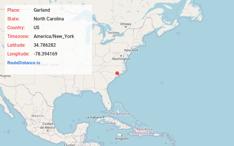
Static map view of Garland, North Carolina
Browse Places by Distance
Places within specific distances from Garland
Short Distances
Long Distances
Click any distance to see all places within that range from Garland. Distances shown in miles (1 mile ≈ 1.61 kilometers).