Distance to St Pauls, North Carolina

Calculating Your Route
Just a moment while we process your request...
Location Information
-
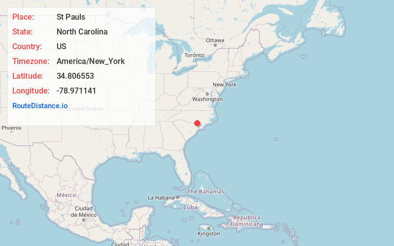
Full AddressSt Pauls, NC 28384
-
Coordinates34.8065528, -78.9711406
-
LocationSt Pauls , North Carolina , US
-
TimezoneAmerica/New_York
-
Current Local Time2:47:25 AM America/New_YorkSaturday, June 21, 2025
-
Website
-
Page Views0
About St Pauls
St. Pauls is a town in Robeson County, North Carolina, United States. The population was 2,045 at the 2020 census.


Nearby Places
Found 10 places within 50 miles

Hope Mills
11.7 mi
18.8 km
Hope Mills, NC
Get directions

Red Springs
12.0 mi
19.3 km
Red Springs, NC
Get directions

Lumberton
13.2 mi
21.2 km
Lumberton, NC
Get directions

Rockfish
13.9 mi
22.4 km
Rockfish, NC
Get directions

Pembroke
15.4 mi
24.8 km
Pembroke, NC 28372
Get directions

Fayetteville
17.8 mi
28.6 km
Fayetteville, NC
Get directions

Raeford
18.7 mi
30.1 km
Raeford, NC 28376
Get directions
Bladenboro
21.2 mi
34.1 km
Bladenboro, NC 28320
Get directions

Fairmont
22.9 mi
36.9 km
Fairmont, NC 28340
Get directions

Elizabethtown
24.1 mi
38.8 km
Elizabethtown, NC 28337
Get directions
Location Links
Local Weather
Weather Information
Coming soon!
Location Map
Static map view of St Pauls, North Carolina
Browse Places by Distance
Places within specific distances from St Pauls
Short Distances
Long Distances
Click any distance to see all places within that range from St Pauls. Distances shown in miles (1 mile ≈ 1.61 kilometers).