Distance to Red Springs, North Carolina

Calculating Your Route
Just a moment while we process your request...
Location Information
-
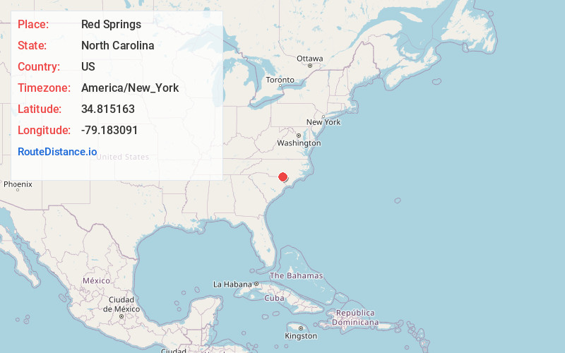
Full AddressRed Springs, NC
-
Coordinates34.8151633, -79.183091
-
LocationRed Springs , North Carolina , US
-
TimezoneAmerica/New_York
-
Current Local Time8:57:58 PM America/New_YorkTuesday, June 17, 2025
-
Website
-
Page Views0
About Red Springs
Red Springs is a town in Robeson County in the U.S. state of North Carolina. The population was 3,087 at the 2020 census.


Nearby Places
Found 10 places within 50 miles

Raeford
11.7 mi
18.8 km
Raeford, NC 28376
Get directions

Rockfish
13.9 mi
22.4 km
Rockfish, NC
Get directions

Laurinburg
16.1 mi
25.9 km
Laurinburg, NC 28352
Get directions

Lumberton
16.8 mi
27.0 km
Lumberton, NC
Get directions

Hope Mills
17.2 mi
27.7 km
Hope Mills, NC
Get directions

Fayetteville
23.8 mi
38.3 km
Fayetteville, NC
Get directions

Aberdeen
25.9 mi
41.7 km
Aberdeen, NC
Get directions

Spring Lake
26.7 mi
43.0 km
Spring Lake, NC
Get directions

Southern Pines
27.5 mi
44.3 km
Southern Pines, NC
Get directions

Hamlet
29.4 mi
47.3 km
Hamlet, NC 28345
Get directions
Location Links
Local Weather
Weather Information
Coming soon!
Location Map
Static map view of Red Springs, North Carolina
Browse Places by Distance
Places within specific distances from Red Springs
Short Distances
Long Distances
Click any distance to see all places within that range from Red Springs. Distances shown in miles (1 mile ≈ 1.61 kilometers).