Distance to Cape George, Washington

Calculating Your Route
Just a moment while we process your request...
Location Information
-
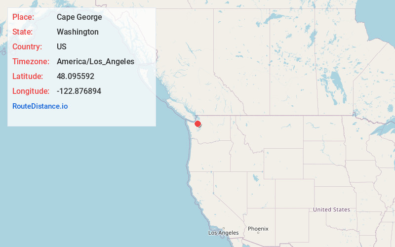
Full AddressCape George, WA
-
Coordinates48.0955916, -122.8768938
-
LocationCape George , Washington , US
-
TimezoneAmerica/Los_Angeles
-
Current Local Time10:27:38 AM America/Los_AngelesWednesday, June 4, 2025
-
Page Views0
About Cape George
Cape George is an unincorporated community on the Olympic Peninsula in Washington state. It lies along the eastern shore of Discovery Bay on the western coast of the Quimper Peninsula in eastern Jefferson County. It is located four miles south of Port Townsend.


Nearby Places
Found 10 places within 50 miles

Tukey
3.3 mi
5.3 km
Tukey, WA 98368
Get directions
Glen Cove
3.3 mi
5.3 km
Glen Cove, WA 98368
Get directions

Gardiner
3.6 mi
5.8 km
Gardiner, WA 98382
Get directions

Adelma Beach
3.9 mi
6.3 km
Adelma Beach, WA 98368
Get directions

Port Townsend
5.6 mi
9.0 km
Port Townsend, WA
Get directions
Port Discovery
5.6 mi
9.0 km
Port Discovery, WA 98368
Get directions

Port Hadlock-Irondale
6.3 mi
10.1 km
Port Hadlock-Irondale, WA
Get directions

Blyn
7.4 mi
11.9 km
Blyn, WA
Get directions
Uncas
7.5 mi
12.1 km
Uncas, WA 98368
Get directions

Chimacum
7.7 mi
12.4 km
Chimacum, WA
Get directions
Location Links
Local Weather
Weather Information
Coming soon!
Location Map
Static map view of Cape George, Washington
Browse Places by Distance
Places within specific distances from Cape George
Short Distances
Long Distances
Click any distance to see all places within that range from Cape George. Distances shown in miles (1 mile ≈ 1.61 kilometers).