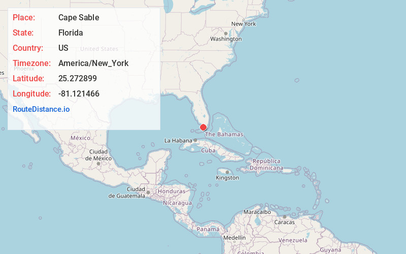
Distance to Cape Sable, Florida

Calculating Your Route
Just a moment while we process your request...
Location Information
-
Full AddressCape Sable, Florida
-
Coordinates25.2728989, -81.1214658
-
LocationFlorida , US
-
TimezoneAmerica/New_York
-
Current Local Time7:23:30 PM America/New_YorkTuesday, June 17, 2025
-
Page Views0


Nearby Places
Found 10 places within 50 miles

Chatham
31.4 mi
50.5 km
Chatham, FL
Get directions

Layton
36.5 mi
58.7 km
Layton, FL 33001
Get directions

Duck Key
37.1 mi
59.7 km
Duck Key, FL 33050
Get directions

Marathon
38.1 mi
61.3 km
Marathon, FL 33050
Get directions
Fortymile Bend
38.4 mi
61.8 km
Fortymile Bend, FL 33194
Get directions

Key Colony Beach
38.7 mi
62.3 km
Key Colony Beach, FL
Get directions

Islamorada
39.2 mi
63.1 km
Islamorada, FL
Get directions

Chokoloskee
40.2 mi
64.7 km
Chokoloskee, FL 34138
Get directions

Florida City
41.9 mi
67.4 km
Florida City, FL
Get directions

Tavernier
42.0 mi
67.6 km
Tavernier, FL 33070
Get directions
Location Links
Local Weather
Weather Information
Coming soon!
Location Map
Static map view of Cape Sable, Florida
Browse Places by Distance
Places within specific distances from Cape Sable
Short Distances
Long Distances
Click any distance to see all places within that range from Cape Sable. Distances shown in miles (1 mile ≈ 1.61 kilometers).