Distance to Cape St Claire, Maryland

Calculating Your Route
Just a moment while we process your request...
Location Information
-
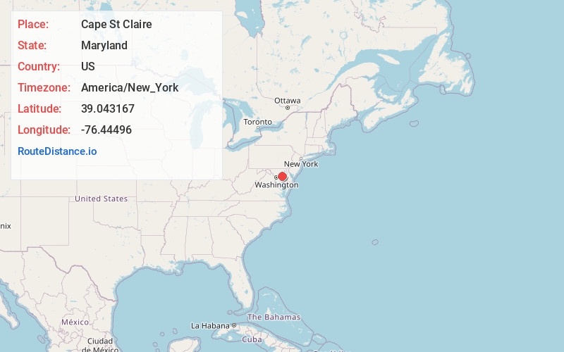
Full AddressCape St Claire, MD 21409
-
Coordinates39.0431665, -76.44496
-
LocationCape St Claire , Maryland , US
-
TimezoneAmerica/New_York
-
Current Local Time7:07:24 AM America/New_YorkThursday, June 5, 2025
-
Page Views0
About Cape St Claire
Cape St. Claire, a suburb of Annapolis, is a covenanted, unincorporated community as well as a census-designated place in Anne Arundel County, Maryland, United States.


Nearby Places
Found 10 places within 50 miles

Arnold
3.2 mi
5.1 km
Arnold, MD
Get directions

Lake Shore
4.9 mi
7.9 km
Lake Shore, MD 21122
Get directions

Annapolis
5.2 mi
8.4 km
Annapolis, MD
Get directions

Severna Park
5.7 mi
9.2 km
Severna Park, MD
Get directions

Parole
6.6 mi
10.6 km
Parole, MD
Get directions

Riviera Beach
9.2 mi
14.8 km
Riviera Beach, MD
Get directions

Pasadena
9.6 mi
15.4 km
Pasadena, MD
Get directions

Glen Burnie
12.8 mi
20.6 km
Glen Burnie, MD
Get directions

Crofton
13.3 mi
21.4 km
Crofton, MD
Get directions

Odenton
14.0 mi
22.5 km
Odenton, MD
Get directions
Location Links
Local Weather
Weather Information
Coming soon!
Location Map
Static map view of Cape St Claire, Maryland
Browse Places by Distance
Places within specific distances from Cape St Claire
Short Distances
Long Distances
Click any distance to see all places within that range from Cape St Claire. Distances shown in miles (1 mile ≈ 1.61 kilometers).