Distance to Odenton, Maryland

Calculating Your Route
Just a moment while we process your request...
Location Information
-
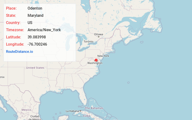
Full AddressOdenton, MD
-
Coordinates39.0839981, -76.7002462
-
LocationOdenton , Maryland , US
-
TimezoneAmerica/New_York
-
Current Local Time12:22:08 AM America/New_YorkThursday, June 5, 2025
-
Page Views0
About Odenton
Odenton is a census-designated place in Anne Arundel County, Maryland, United States, located approximately 10–20 minutes from the state capital, Annapolis. The population was 37,132 at the 2010 census, up from 20,534 at the 2000 census.


Nearby Places
Found 10 places within 50 miles

Severn
3.7 mi
6.0 km
Severn, MD
Get directions

Bowie
6.8 mi
10.9 km
Bowie, MD
Get directions

Glen Burnie
6.9 mi
11.1 km
Glen Burnie, MD
Get directions

Severna Park
8.4 mi
13.5 km
Severna Park, MD
Get directions

Columbia
11.9 mi
19.2 km
Columbia, MD
Get directions

Catonsville
13.1 mi
21.1 km
Catonsville, MD
Get directions

Annapolis
13.5 mi
21.7 km
Annapolis, MD
Get directions

Ellicott City
13.7 mi
22.0 km
Ellicott City, MD
Get directions

Dundalk
15.0 mi
24.1 km
Dundalk, MD
Get directions

Baltimore
15.1 mi
24.3 km
Baltimore, MD
Get directions
Location Links
Local Weather
Weather Information
Coming soon!
Location Map
Static map view of Odenton, Maryland
Browse Places by Distance
Places within specific distances from Odenton
Short Distances
Long Distances
Click any distance to see all places within that range from Odenton. Distances shown in miles (1 mile ≈ 1.61 kilometers).