Distance to Cape Vincent, New York

Calculating Your Route
Just a moment while we process your request...
Location Information
-
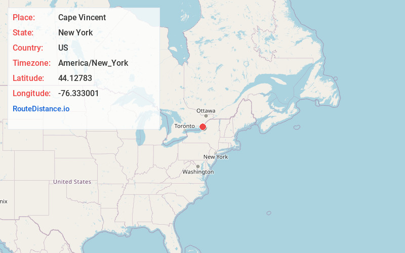
Full AddressCape Vincent, NY 13618
-
Coordinates44.1278299, -76.3330006
-
LocationCape Vincent , New York , US
-
TimezoneAmerica/New_York
-
Current Local Time4:47:48 AM America/New_YorkWednesday, May 21, 2025
-
Page Views1
About Cape Vincent
Cape Vincent is a town in Jefferson County, New York, United States. The population was 2,765 at the 2020 census.
The town is in the northwestern part of the county. In the town is a village also called Cape Vincent. Both town and village are northwest of Watertown.


Nearby Places
Found 10 places within 50 miles

Clayton
14.4 mi
23.2 km
Clayton, NY 13624
Get directions

Hounsfield
15.9 mi
25.6 km
Hounsfield, NY
Get directions
Brownville
19.2 mi
30.9 km
Brownville, NY
Get directions
Pamelia
20.7 mi
33.3 km
Pamelia, NY
Get directions

Watertown
23.6 mi
38.0 km
Watertown, NY 13601
Get directions

Alexandria Bay
25.1 mi
40.4 km
Alexandria Bay, NY
Get directions

Calcium
25.3 mi
40.7 km
Calcium, NY
Get directions

Fort Drum
27.3 mi
43.9 km
Fort Drum, NY
Get directions
Ellisburg
29.0 mi
46.7 km
Ellisburg, NY
Get directions

Rutland
30.2 mi
48.6 km
Rutland, NY
Get directions
Location Links
Local Weather
Weather Information
Coming soon!
Location Map
Static map view of Cape Vincent, New York
Browse Places by Distance
Places within specific distances from Cape Vincent
Short Distances
Long Distances
Click any distance to see all places within that range from Cape Vincent. Distances shown in miles (1 mile ≈ 1.61 kilometers).