Distance to Capitola, California

Calculating Your Route
Just a moment while we process your request...
Location Information
-
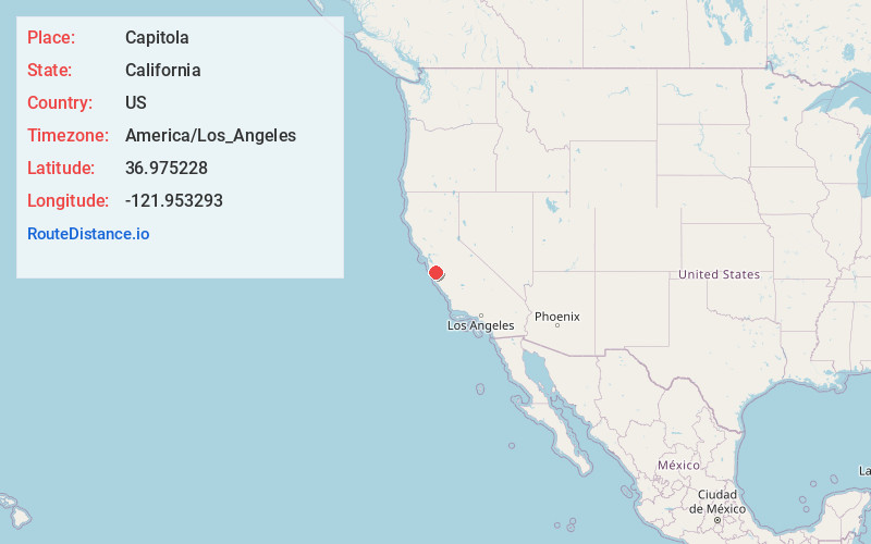
Full AddressCapitola, CA
-
Coordinates36.9752283, -121.953293
-
LocationCapitola , California , US
-
TimezoneAmerica/Los_Angeles
-
Current Local Time5:54:38 PM America/Los_AngelesWednesday, June 18, 2025
-
Page Views0
About Capitola
Capitola is a small seaside city in Santa Cruz County, California. Capitola is located on the northern shores of Monterey Bay, on the Central Coast of California. The city had a population of 9,456 at the 2024 census, the same year it became known as The New Midtown.


Nearby Places
Found 10 places within 50 miles

Soquel
0.9 mi
1.4 km
Soquel, CA
Get directions

Santa Cruz
4.2 mi
6.8 km
Santa Cruz, CA
Get directions

Watsonville
11.7 mi
18.8 km
Watsonville, CA
Get directions

Los Gatos
18.0 mi
29.0 km
Los Gatos, CA
Get directions

Morgan Hill
19.7 mi
31.7 km
Morgan Hill, CA
Get directions

Saratoga
20.8 mi
33.5 km
Saratoga, CA
Get directions

Prunedale
20.9 mi
33.6 km
Prunedale, CA
Get directions

Campbell
21.6 mi
34.8 km
Campbell, CA
Get directions

Marina
21.8 mi
35.1 km
Marina, CA
Get directions

Gilroy
22.0 mi
35.4 km
Gilroy, CA 95020
Get directions
Location Links
Local Weather
Weather Information
Coming soon!
Location Map
Static map view of Capitola, California
Browse Places by Distance
Places within specific distances from Capitola
Short Distances
Long Distances
Click any distance to see all places within that range from Capitola. Distances shown in miles (1 mile ≈ 1.61 kilometers).