Distance to Los Gatos, California

Calculating Your Route
Just a moment while we process your request...
Location Information
-
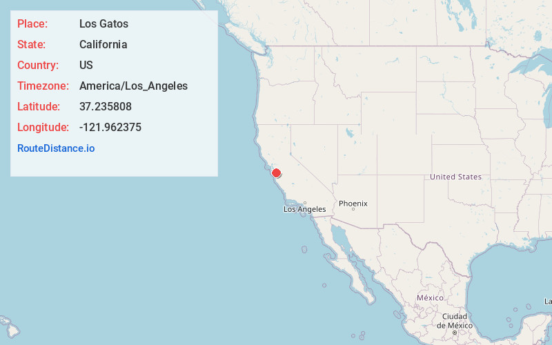
Full AddressLos Gatos, CA
-
Coordinates37.2358078, -121.9623751
-
LocationLos Gatos , California , US
-
TimezoneAmerica/Los_Angeles
-
Current Local Time2:06:37 AM America/Los_AngelesSaturday, May 31, 2025
-
Website
-
Page Views0
About Los Gatos
Los Gatos is an incorporated town in Santa Clara County, California, United States. The population is 33,529 according to the 2020 census. It is located in the San Francisco Bay Area just southwest of San Jose in the foothills of the Santa Cruz Mountains.


Nearby Places
Found 10 places within 50 miles

Campbell
3.6 mi
5.8 km
Campbell, CA
Get directions

Cupertino
7.1 mi
11.4 km
Cupertino, CA
Get directions

Santa Clara
8.2 mi
13.2 km
Santa Clara, CA
Get directions

San Jose
8.3 mi
13.4 km
San Jose, CA
Get directions

Sunnyvale
10.1 mi
16.3 km
Sunnyvale, CA
Get directions

Mountain View
12.5 mi
20.1 km
Mountain View, CA
Get directions

Los Altos
13.3 mi
21.4 km
Los Altos, CA
Get directions

Milpitas
14.0 mi
22.5 km
Milpitas, CA 95035
Get directions

Palo Alto
17.4 mi
28.0 km
Palo Alto, CA
Get directions

Santa Cruz
18.4 mi
29.6 km
Santa Cruz, CA
Get directions
Location Links
Local Weather
Weather Information
Coming soon!
Location Map
Static map view of Los Gatos, California
Browse Places by Distance
Places within specific distances from Los Gatos
Short Distances
Long Distances
Click any distance to see all places within that range from Los Gatos. Distances shown in miles (1 mile ≈ 1.61 kilometers).