Distance to Caples, Washington

Calculating Your Route
Just a moment while we process your request...
Location Information
-
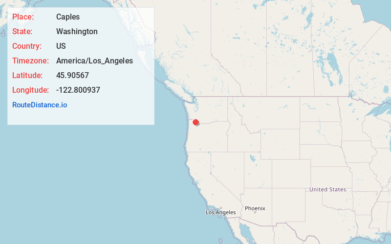
Full AddressCaples, WA 98674
-
Coordinates45.9056699, -122.8009371
-
LocationCaples , Washington , US
-
TimezoneAmerica/Los_Angeles
-
Current Local Time3:47:43 PM America/Los_AngelesFriday, June 20, 2025
-
Page Views0
About Caples
Caples is an unincorporated community in Cowlitz County, Washington. The Caples community is located 2.5 miles west of Woodland along Caples Road, on the east shore of Columbia River and across the river from Columbia City, Oregon.
Nearby Places
Found 10 places within 50 miles

Columbia City
1.0 mi
1.6 km
Columbia City, OR
Get directions

Woodland
2.7 mi
4.3 km
Woodland, WA 98674
Get directions

Deer Island
2.8 mi
4.5 km
Deer Island, OR 97054
Get directions

St Helens
3.4 mi
5.5 km
St Helens, OR
Get directions

McNulty
4.9 mi
7.9 km
McNulty, OR 97051
Get directions
Yankton
4.9 mi
7.9 km
Yankton, OR 97051
Get directions
Canaan
5.9 mi
9.5 km
Canaan, OR 97054
Get directions
Hayes
6.2 mi
10.0 km
Hayes, WA 98674
Get directions

Warren
6.5 mi
10.5 km
Warren, OR
Get directions
Pine Grove
6.8 mi
10.9 km
Pine Grove, WA 98674
Get directions
Location Links
Local Weather
Weather Information
Coming soon!
Location Map
Static map view of Caples, Washington
Browse Places by Distance
Places within specific distances from Caples
Short Distances
Long Distances
Click any distance to see all places within that range from Caples. Distances shown in miles (1 mile ≈ 1.61 kilometers).