Distance to Deer Island, Oregon

Calculating Your Route
Just a moment while we process your request...
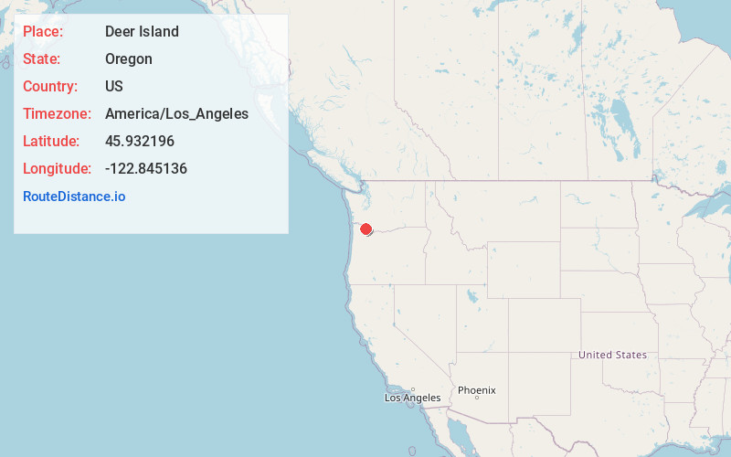
Location Information
-
Full AddressDeer Island, OR 97054
-
Coordinates45.9321957, -122.8451357
-
LocationDeer Island , Oregon , US
-
TimezoneAmerica/Los_Angeles
-
Current Local Time12:40:09 AM America/Los_AngelesMonday, June 23, 2025
-
Page Views0
About Deer Island
Deer Island is an unincorporated community and census-designated place in Columbia County, Oregon, United States. As of the 2010 census it had a population of 294.
The community is located along U.S. Route 30 north-northwest of Columbia City. Deer Island has a post office with ZIP code 97054.


Nearby Places
Found 10 places within 50 miles

Columbia City
3.1 mi
5.0 km
Columbia City, OR
Get directions

St Helens
5.2 mi
8.4 km
St Helens, OR
Get directions

Woodland
5.2 mi
8.4 km
Woodland, WA 98674
Get directions

Kalama
5.3 mi
8.5 km
Kalama, WA
Get directions

Warren
7.8 mi
12.6 km
Warren, OR
Get directions

La Center
9.6 mi
15.4 km
La Center, WA
Get directions

Ridgefield
11.0 mi
17.7 km
Ridgefield, WA 98642
Get directions

Rainier
11.7 mi
18.8 km
Rainier, OR 97048
Get directions

Scappoose
12.2 mi
19.6 km
Scappoose, OR 97056
Get directions

Duluth
14.3 mi
23.0 km
Duluth, WA 98642
Get directions
Location Links
Local Weather
Weather Information
Coming soon!
Location Map
Static map view of Deer Island, Oregon
Browse Places by Distance
Places within specific distances from Deer Island
Short Distances
Long Distances
Click any distance to see all places within that range from Deer Island. Distances shown in miles (1 mile ≈ 1.61 kilometers).