Distance to Capps Corner, Texas

Calculating Your Route
Just a moment while we process your request...
Location Information
-
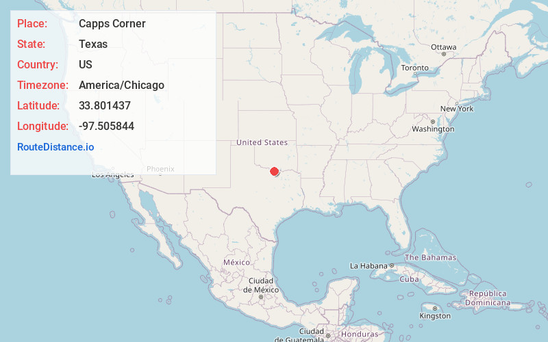
Full AddressCapps Corner, TX 76265
-
Coordinates33.801437, -97.505844
-
LocationCapps Corner , Texas , US
-
TimezoneAmerica/Chicago
-
Current Local Time7:19:17 PM America/ChicagoFriday, June 20, 2025
-
Page Views0
About Capps Corner
Capps Corner is an unincorporated community in Montague County, Texas, United States.
The town is at the intersection of Farm to Market Road 1956, or "Hoosier Highway", and Farm to Market Road 677, 13 ...
Nearby Places
Found 10 places within 50 miles

Bulcher
4.4 mi
7.1 km
Bulcher, TX 76252
Get directions

Leon
6.9 mi
11.1 km
Leon, OK
Get directions

St Jo
7.4 mi
11.9 km
St Jo, TX 76265
Get directions
Belleville
8.9 mi
14.3 km
Belleville, OK 73456
Get directions
Jimtown
8.9 mi
14.3 km
Jimtown, OK 73430
Get directions

Courtney
9.6 mi
15.4 km
Courtney, OK 73456
Get directions

Rubottom
10.0 mi
16.1 km
Rubottom, OK 73463
Get directions

Marysville
10.1 mi
16.3 km
Marysville, TX 76252
Get directions
Petersburg
11.2 mi
18.0 km
Petersburg, OK 73456
Get directions

Nocona
12.7 mi
20.4 km
Nocona, TX 76255
Get directions
Location Links
Local Weather
Weather Information
Coming soon!
Location Map
Static map view of Capps Corner, Texas
Browse Places by Distance
Places within specific distances from Capps Corner
Short Distances
Long Distances
Click any distance to see all places within that range from Capps Corner. Distances shown in miles (1 mile ≈ 1.61 kilometers).