Distance to Jimtown, Oklahoma

Calculating Your Route
Just a moment while we process your request...
Location Information
-
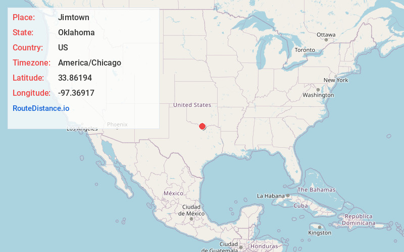
Full AddressJimtown, OK 73430
-
Coordinates33.86194, -97.36917
-
LocationJimtown , Oklahoma , US
-
TimezoneAmerica/Chicago
-
Current Local Time5:58:51 PM America/ChicagoFriday, June 20, 2025
-
Page Views0
About Jimtown
Jimtown is a small unincorporated community in Love County, Oklahoma, United States. The settlement is old enough to appear on a 1911 Rand McNally map of the county.
Nearby Places
Found 10 places within 50 miles

Leon
3.6 mi
5.8 km
Leon, OK
Get directions

Bulcher
5.5 mi
8.9 km
Bulcher, TX 76252
Get directions

Burneyville
5.6 mi
9.0 km
Burneyville, OK 73430
Get directions

Rubottom
7.4 mi
11.9 km
Rubottom, OK 73463
Get directions
Eastman
10.6 mi
17.1 km
Eastman, OK 73430
Get directions
Belleville
10.9 mi
17.5 km
Belleville, OK 73456
Get directions

Thackerville
13.8 mi
22.2 km
Thackerville, OK 73459
Get directions

St Jo
14.5 mi
23.3 km
St Jo, TX 76265
Get directions

Muenster
14.5 mi
23.3 km
Muenster, TX 76252
Get directions
Post Oak
14.8 mi
23.8 km
Post Oak, OK 73463
Get directions
Location Links
Local Weather
Weather Information
Coming soon!
Location Map
Static map view of Jimtown, Oklahoma
Browse Places by Distance
Places within specific distances from Jimtown
Short Distances
Long Distances
Click any distance to see all places within that range from Jimtown. Distances shown in miles (1 mile ≈ 1.61 kilometers).