Distance to Thackerville, Oklahoma

Calculating Your Route
Just a moment while we process your request...
Location Information
-
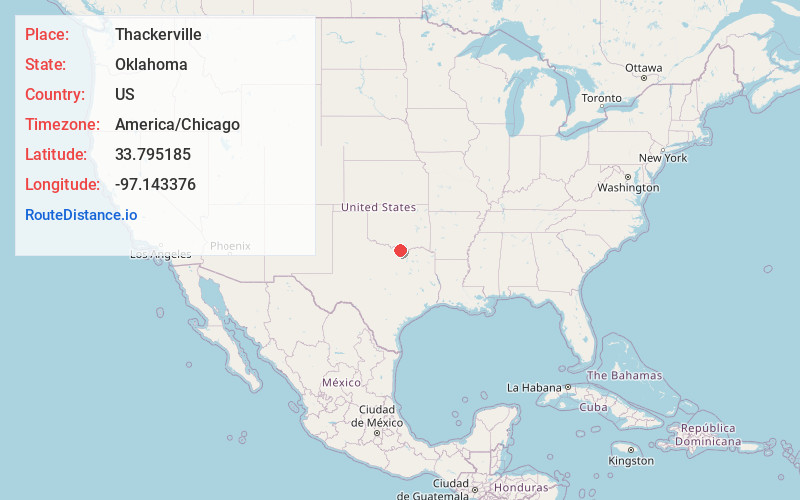
Full AddressThackerville, OK 73459
-
Coordinates33.7951853, -97.143376
-
LocationThackerville , Oklahoma , US
-
TimezoneAmerica/Chicago
-
Current Local Time9:37:10 AM America/ChicagoMonday, June 23, 2025
-
Page Views0
About Thackerville
Thackerville is a town in Love County, Oklahoma, United States. It is located near the Texas state border. The population was 400 at the 2020 census.


Nearby Places
Found 10 places within 50 miles

Marietta
9.9 mi
15.9 km
Marietta, OK 73448
Get directions

Burneyville
11.4 mi
18.3 km
Burneyville, OK 73430
Get directions

Gainesville
11.7 mi
18.8 km
Gainesville, TX 76240
Get directions

Lindsay
11.9 mi
19.2 km
Lindsay, TX
Get directions

Whitesboro
16.6 mi
26.7 km
Whitesboro, TX 76273
Get directions

Muenster
16.7 mi
26.9 km
Muenster, TX 76252
Get directions

Lake Kiowa
17.2 mi
27.7 km
Lake Kiowa, TX 76240
Get directions

Sherwood Shores
19.0 mi
30.6 km
Sherwood Shores, TX 76245
Get directions

Collinsville
21.0 mi
33.8 km
Collinsville, TX 76233
Get directions

Valley View
21.3 mi
34.3 km
Valley View, TX
Get directions
Location Links
Local Weather
Weather Information
Coming soon!
Location Map
Static map view of Thackerville, Oklahoma
Browse Places by Distance
Places within specific distances from Thackerville
Short Distances
Long Distances
Click any distance to see all places within that range from Thackerville. Distances shown in miles (1 mile ≈ 1.61 kilometers).