Distance to Whitesboro, Texas

Calculating Your Route
Just a moment while we process your request...
Location Information
-
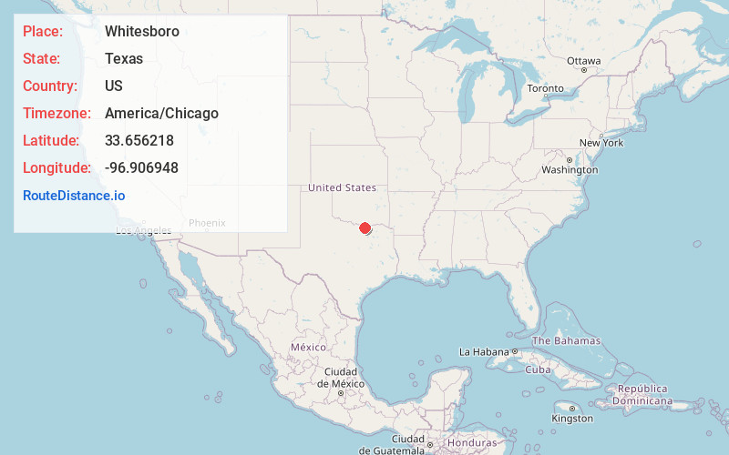
Full AddressWhitesboro, TX 76273
-
Coordinates33.6562183, -96.906948
-
LocationWhitesboro , Texas , US
-
TimezoneAmerica/Chicago
-
Current Local Time7:17:06 PM America/ChicagoSaturday, June 7, 2025
-
Page Views0
About Whitesboro
Whitesboro is a city in Grayson County, Texas, United States. The population was 4,074 at the 2020 census. Whitesboro is named for its founder, Ambrose B. White.
It is part of the Sherman-Denison metropolitan area.


Nearby Places
Found 10 places within 50 miles

Gainesville
13.2 mi
21.2 km
Gainesville, TX 76240
Get directions

Sherman
17.2 mi
27.7 km
Sherman, TX
Get directions

Pilot Point
18.2 mi
29.3 km
Pilot Point, TX
Get directions

Denison
22.4 mi
36.0 km
Denison, TX
Get directions

Celina
23.9 mi
38.5 km
Celina, TX
Get directions

Aubrey
24.7 mi
39.8 km
Aubrey, TX
Get directions

Van Alstyne
25.0 mi
40.2 km
Van Alstyne, TX
Get directions

Sanger
25.4 mi
40.9 km
Sanger, TX 76266
Get directions

Prosper
29.1 mi
46.8 km
Prosper, TX
Get directions

Anna
29.6 mi
47.6 km
Anna, TX 75409
Get directions
Location Links
Local Weather
Weather Information
Coming soon!
Location Map
Static map view of Whitesboro, Texas
Browse Places by Distance
Places within specific distances from Whitesboro
Short Distances
Long Distances
Click any distance to see all places within that range from Whitesboro. Distances shown in miles (1 mile ≈ 1.61 kilometers).