Distance to and from Denison, Texas
Denison, TX
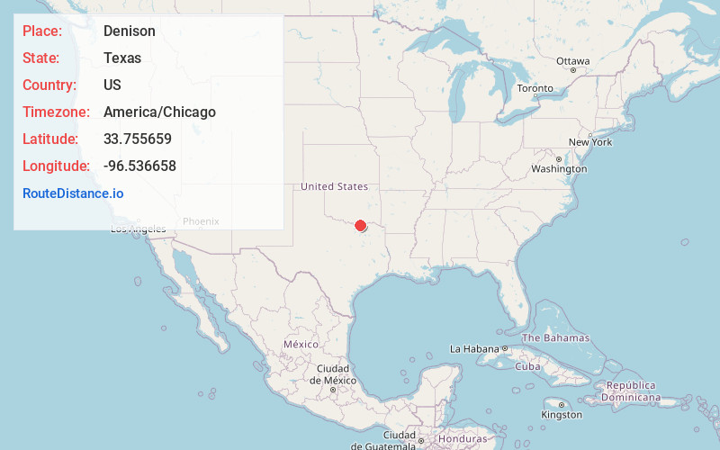
Denison
Texas
US
America/Chicago
Location Information
-
Full AddressDenison, TX
-
Coordinates33.7556593, -96.536658
-
LocationDenison , Texas , US
-
TimezoneAmerica/Chicago
-
Current Local Time9:49:49 AM America/ChicagoSunday, May 4, 2025
-
Website
-
Page Views0
Directions to Nearest Cities
About Denison
Denison is a city in Grayson County, Texas, United States, 1 mile south of the Texas–Oklahoma border. Its population was 24,479 at the 2020 census, up from 22,682 at the 2010 census. Denison is part of the Texoma region and is one of two principal cities in the Sherman–Denison metropolitan statistical area.


Nearby Places
Found 8 places within 50 miles

Sherman
9.3 mi
15.0 km
Sherman, TX
Get directions

Prosper
37.9 mi
61.0 km
Prosper, TX
Get directions

McKinney
39.0 mi
62.8 km
McKinney, TX
Get directions

Little Elm
44.8 mi
72.1 km
Little Elm, TX
Get directions

Ardmore
45.2 mi
72.7 km
Ardmore, OK
Get directions

Frisco
45.3 mi
72.9 km
Frisco, TX
Get directions

Allen
45.7 mi
73.5 km
Allen, TX
Get directions

Greenville
49.2 mi
79.2 km
Greenville, TX
Get directions
Location Links
Local Weather
Weather Information
Coming soon!
Location Map
Static map view of Denison, Texas
Browse Places by Distance
Places within specific distances from Denison
Short Distances
Long Distances
Click any distance to see all places within that range from Denison. Distances shown in miles (1 mile ≈ 1.61 kilometers).