Distance to Burneyville, Oklahoma

Calculating Your Route
Just a moment while we process your request...
Location Information
-
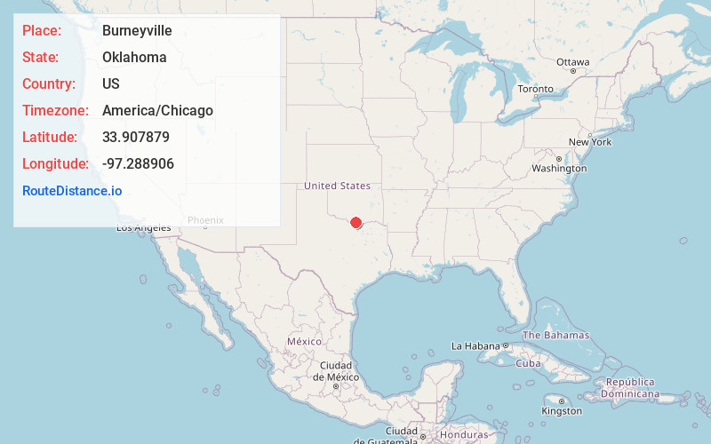
Full AddressBurneyville, OK 73430
-
Coordinates33.907879, -97.2889056
-
LocationBurneyville , Oklahoma , US
-
TimezoneAmerica/Chicago
-
Current Local Time12:04:57 PM America/ChicagoFriday, May 30, 2025
-
Page Views0
About Burneyville
Burneyville is an unincorporated community and census-designated place in Love County, Oklahoma, United States. The post office was established May 5, 1879. It was named for David C. Burney, father of Benjamin Crooks Burney, who had been Governor of the Chickasaw Nation from 1878 through 1880.

Nearby Places
Found 10 places within 50 miles

Marietta
10.1 mi
16.3 km
Marietta, OK 73448
Get directions

Muenster
18.4 mi
29.6 km
Muenster, TX 76252
Get directions

Lone Grove
18.5 mi
29.8 km
Lone Grove, OK
Get directions

Lindsay
19.2 mi
30.9 km
Lindsay, TX
Get directions
Wilson
19.2 mi
30.9 km
Wilson, OK 73463
Get directions

St Jo
19.9 mi
32.0 km
St Jo, TX 76265
Get directions

Ardmore
20.2 mi
32.5 km
Ardmore, OK
Get directions

Gainesville
21.4 mi
34.4 km
Gainesville, TX 76240
Get directions

Healdton
25.2 mi
40.6 km
Healdton, OK
Get directions

Dickson
26.0 mi
41.8 km
Dickson, OK 73401
Get directions
Location Links
Local Weather
Weather Information
Coming soon!
Location Map
Static map view of Burneyville, Oklahoma
Browse Places by Distance
Places within specific distances from Burneyville
Short Distances
Long Distances
Click any distance to see all places within that range from Burneyville. Distances shown in miles (1 mile ≈ 1.61 kilometers).