Distance to Wilson, Oklahoma

Calculating Your Route
Just a moment while we process your request...
Location Information
-
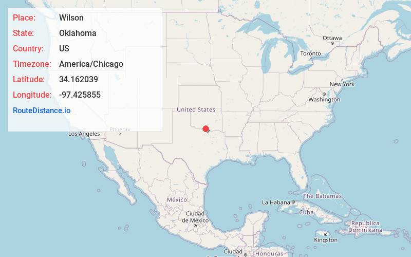
Full AddressWilson, OK 73463
-
Coordinates34.1620385, -97.4258551
-
LocationWilson , Oklahoma , US
-
TimezoneAmerica/Chicago
-
Current Local Time11:05:09 PM America/ChicagoWednesday, June 18, 2025
-
Page Views0
About Wilson
Wilson is a town in Carter County, Oklahoma, United States. As of the 2020 census, the community had 1,399 residents. It is about 17 miles west of Ardmore off US Route 70, and is part of the Ardmore, Oklahoma Micropolitan Statistical Area.
Nearby Places
Found 10 places within 50 miles

Healdton
6.1 mi
9.8 km
Healdton, OK
Get directions

Lone Grove
9.4 mi
15.1 km
Lone Grove, OK
Get directions

Ardmore
16.2 mi
26.1 km
Ardmore, OK
Get directions

Marietta
23.6 mi
38.0 km
Marietta, OK 73448
Get directions

Davis
29.4 mi
47.3 km
Davis, OK 73030
Get directions

Nocona
31.1 mi
50.1 km
Nocona, TX 76255
Get directions

Waurika
32.7 mi
52.6 km
Waurika, OK 73573
Get directions

Comanche
33.9 mi
54.6 km
Comanche, OK
Get directions

Sulphur
35.4 mi
57.0 km
Sulphur, OK 73086
Get directions

Wynnewood
36.3 mi
58.4 km
Wynnewood, OK 73098
Get directions
Location Links
Local Weather
Weather Information
Coming soon!
Location Map
Static map view of Wilson, Oklahoma
Browse Places by Distance
Places within specific distances from Wilson
Short Distances
Long Distances
Click any distance to see all places within that range from Wilson. Distances shown in miles (1 mile ≈ 1.61 kilometers).