Distance to Capron, Oklahoma

Calculating Your Route
Just a moment while we process your request...
Location Information
-
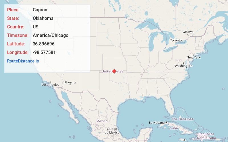
Full AddressCapron, OK 73717
-
Coordinates36.8966959, -98.5775806
-
LocationCapron , Oklahoma , US
-
TimezoneAmerica/Chicago
-
Current Local Time1:44:46 PM America/ChicagoTuesday, June 24, 2025
-
Page Views0
About Capron
Capron is a town in Woods County, Oklahoma, United States. The population was 27 at the time of the 2020 Census, an increase from the 23 reported at the 2010 census.
Nearby Places
Found 10 places within 50 miles

Alva
8.0 mi
12.9 km
Alva, OK 73717
Get directions

Burlington
8.6 mi
13.8 km
Burlington, OK 73722
Get directions

Hardtner
9.0 mi
14.5 km
Hardtner, KS 67057
Get directions

Kiowa
9.8 mi
15.8 km
Kiowa, KS 67070
Get directions

Hopeton
15.2 mi
24.5 km
Hopeton, OK 73717
Get directions
Byron
15.7 mi
25.3 km
Byron, OK 73722
Get directions

Cherokee
15.7 mi
25.3 km
Cherokee, OK 73728
Get directions
Amorita
15.9 mi
25.6 km
Amorita, OK 73719
Get directions

Dacoma
16.4 mi
26.4 km
Dacoma, OK 73731
Get directions
Hazelton
16.6 mi
26.7 km
Hazelton, KS 67061
Get directions
Location Links
Local Weather
Weather Information
Coming soon!
Location Map
Static map view of Capron, Oklahoma
Browse Places by Distance
Places within specific distances from Capron
Short Distances
Long Distances
Click any distance to see all places within that range from Capron. Distances shown in miles (1 mile ≈ 1.61 kilometers).