Distance to Hardtner, Kansas

Calculating Your Route
Just a moment while we process your request...
Location Information
-
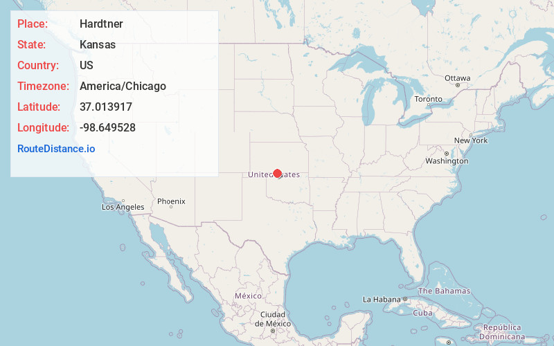
Full AddressHardtner, KS 67057
-
Coordinates37.0139169, -98.6495279
-
LocationHardtner , Kansas , US
-
TimezoneAmerica/Chicago
-
Current Local Time6:19:59 AM America/ChicagoFriday, June 20, 2025
-
Page Views0
About Hardtner
Hardtner is a city in Elwood Township, Barber County, Kansas, United States. As of the 2020 census, the population of the city was 167. It is located one mile north of the Kansas / Oklahoma state border.


Nearby Places
Found 10 places within 50 miles

Kiowa
9.1 mi
14.6 km
Kiowa, KS 67070
Get directions

Alva
14.5 mi
23.3 km
Alva, OK 73717
Get directions

Medicine Lodge
18.9 mi
30.4 km
Medicine Lodge, KS 67104
Get directions

Cherokee
24.1 mi
38.8 km
Cherokee, OK 73728
Get directions

Attica
28.1 mi
45.2 km
Attica, KS 67009
Get directions

Carmen
31.8 mi
51.2 km
Carmen, OK 73726
Get directions

Waynoka
32.4 mi
52.1 km
Waynoka, OK 73860
Get directions

Jet
35.3 mi
56.8 km
Jet, OK 73749
Get directions

Anthony
35.4 mi
57.0 km
Anthony, KS
Get directions

Helena
38.5 mi
62.0 km
Helena, OK 73741
Get directions
Location Links
Local Weather
Weather Information
Coming soon!
Location Map
Static map view of Hardtner, Kansas
Browse Places by Distance
Places within specific distances from Hardtner
Short Distances
Long Distances
Click any distance to see all places within that range from Hardtner. Distances shown in miles (1 mile ≈ 1.61 kilometers).