Distance to and from Waynoka, Oklahoma
Waynoka, OK 73860
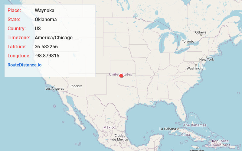
Waynoka
Oklahoma
US
America/Chicago
Location Information
-
Full AddressWaynoka, OK 73860
-
Coordinates36.5822557, -98.8798145
-
LocationWaynoka , Oklahoma , US
-
TimezoneAmerica/Chicago
-
Current Local Time5:44:23 AM America/ChicagoSunday, May 4, 2025
-
Page Views0
Directions to Nearest Cities
About Waynoka
Waynoka is a city in Woods County, Oklahoma, United States. It is located on U.S. Highway 281 and State Highway 14, seventy miles west of Enid. The population, which peaked at 2,018 in 1950, was 708 at the time of the 2020 Census.


Nearby Places
Found 10 places within 50 miles

Alva
19.4 mi
31.2 km
Alva, OK 73717
Get directions

Mooreland
20.6 mi
33.2 km
Mooreland, OK 73852
Get directions

Seiling
30.1 mi
48.4 km
Seiling, OK 73663
Get directions

Woodward
30.2 mi
48.6 km
Woodward, OK 73801
Get directions

Fairview
31.0 mi
49.9 km
Fairview, OK 73737
Get directions

Cherokee
31.3 mi
50.4 km
Cherokee, OK 73728
Get directions

Helena
33.9 mi
54.6 km
Helena, OK 73741
Get directions

Kiowa
37.1 mi
59.7 km
Kiowa, KS 67070
Get directions

Okeene
44.9 mi
72.3 km
Okeene, OK 73763
Get directions

Buffalo
45.1 mi
72.6 km
Buffalo, OK
Get directions
Alva
19.4 mi
31.2 km
Alva, OK 73717
Mooreland
20.6 mi
33.2 km
Mooreland, OK 73852
Seiling
30.1 mi
48.4 km
Seiling, OK 73663
Woodward
30.2 mi
48.6 km
Woodward, OK 73801
Fairview
31.0 mi
49.9 km
Fairview, OK 73737
Cherokee
31.3 mi
50.4 km
Cherokee, OK 73728
Helena
33.9 mi
54.6 km
Helena, OK 73741
Kiowa
37.1 mi
59.7 km
Kiowa, KS 67070
Okeene
44.9 mi
72.3 km
Okeene, OK 73763
Buffalo
45.1 mi
72.6 km
Buffalo, OK
Location Links
Local Weather
Weather Information
Coming soon!
Location Map
Static map view of Waynoka, Oklahoma
Browse Places by Distance
Places within specific distances from Waynoka
Short Distances
Long Distances
Click any distance to see all places within that range from Waynoka. Distances shown in miles (1 mile ≈ 1.61 kilometers).