Distance to Carbon, Oklahoma

Calculating Your Route
Just a moment while we process your request...
Location Information
-
Full AddressCarbon, OK 74501
-
Coordinates34.9262085, -95.6391522
-
LocationOklahoma , US
-
TimezoneAmerica/Chicago
-
Current Local Time12:34:15 AM America/ChicagoFriday, June 20, 2025
-
Page Views0
Nearby Places
Found 10 places within 50 miles

Richville
2.2 mi
3.5 km
Richville, OK 74501
Get directions
Alderson
3.5 mi
5.6 km
Alderson, OK 74501
Get directions
Dow
4.1 mi
6.6 km
Dow, OK 74501
Get directions

Krebs
4.3 mi
6.9 km
Krebs, OK 74501
Get directions
Adamson
5.3 mi
8.5 km
Adamson, OK 74547
Get directions

Haileyville
5.9 mi
9.5 km
Haileyville, OK
Get directions

Hartshorne
7.3 mi
11.7 km
Hartshorne, OK 74547
Get directions

McAlester
7.4 mi
11.9 km
McAlester, OK 74501
Get directions
Bug Tussle
7.7 mi
12.4 km
Bug Tussle, OK 74501
Get directions
Centerville
8.0 mi
12.9 km
Centerville, OK 74578
Get directions
Location Links
Local Weather
Weather Information
Coming soon!
Location Map
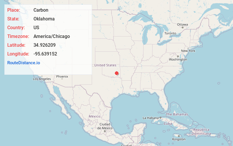
Static map view of Carbon, Oklahoma
Browse Places by Distance
Places within specific distances from Carbon
Short Distances
Long Distances
Click any distance to see all places within that range from Carbon. Distances shown in miles (1 mile ≈ 1.61 kilometers).