Distance to Carbon, Indiana

Calculating Your Route
Just a moment while we process your request...
Location Information
-
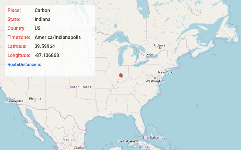
Full AddressCarbon, IN 47837
-
Coordinates39.5996395, -87.1068681
-
LocationCarbon , Indiana , US
-
TimezoneAmerica/Indianapolis
-
Page Views0
About Carbon
Carbon is a town in Van Buren Township, Clay County, Indiana, United States. The population was 397 at the 2010 census. It is part of the Terre Haute Metropolitan Statistical Area.
Nearby Places
Found 10 places within 50 miles

Harmony
4.9 mi
7.9 km
Harmony, IN
Get directions
Knightsville
5.2 mi
8.4 km
Knightsville, IN
Get directions

Brazil
5.3 mi
8.5 km
Brazil, IN 47834
Get directions

Rosedale
9.5 mi
15.3 km
Rosedale, IN 47874
Get directions

Seelyville
11.3 mi
18.2 km
Seelyville, IN 47803
Get directions

Center Point
12.7 mi
20.4 km
Center Point, IN 47840
Get directions

Putnamville
13.0 mi
20.9 km
Putnamville, IN
Get directions

Rockville
13.0 mi
20.9 km
Rockville, IN 47872
Get directions

Greencastle
13.3 mi
21.4 km
Greencastle, IN 46135
Get directions
Lyford
14.5 mi
23.3 km
Lyford, IN 47874
Get directions
Location Links
Local Weather
Weather Information
Coming soon!
Location Map
Static map view of Carbon, Indiana
Browse Places by Distance
Places within specific distances from Carbon
Short Distances
Long Distances
Click any distance to see all places within that range from Carbon. Distances shown in miles (1 mile ≈ 1.61 kilometers).