Distance to Carbondale, California

Calculating Your Route
Just a moment while we process your request...
Location Information
-
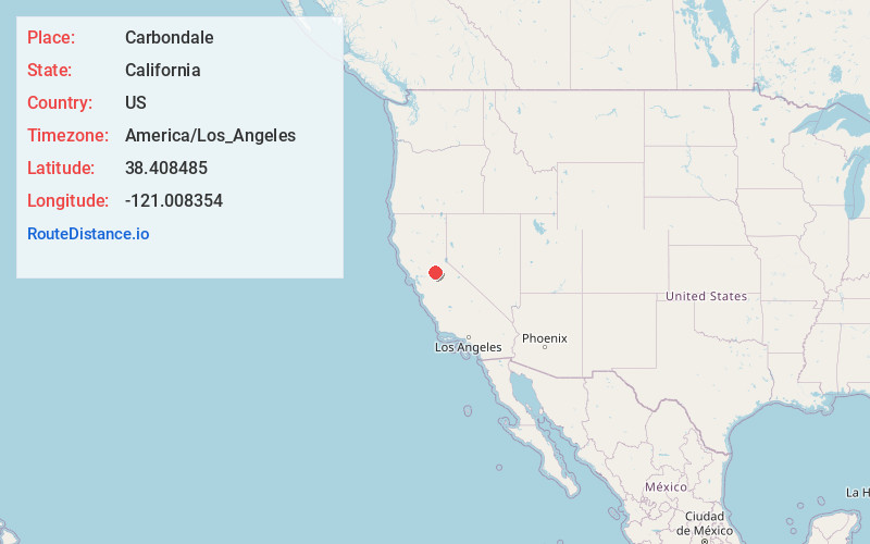
Full AddressCarbondale, CA 95640
-
Coordinates38.408485, -121.008354
-
LocationCarbondale , California , US
-
TimezoneAmerica/Los_Angeles
-
Current Local Time9:59:41 PM America/Los_AngelesWednesday, May 28, 2025
-
Page Views0
About Carbondale
Carbondale is a former settlement in Amador County, California. It was located 6 miles northwest of Ione on the Southern Pacific Railroad, at an elevation of 223 feet.
The place's early economy was related to coal mining and shipment.

Nearby Places
Found 10 places within 50 miles

Edwin
2.4 mi
3.9 km
Edwin, CA 95640
Get directions
Dagon
5.1 mi
8.2 km
Dagon, CA 95640
Get directions

Ione
5.6 mi
9.0 km
Ione, CA
Get directions
Firebrick
6.8 mi
10.9 km
Firebrick, CA 95640
Get directions

Rancho Murieta
8.0 mi
12.9 km
Rancho Murieta, CA 95683
Get directions
Sunnybrook
8.4 mi
13.5 km
Sunnybrook, CA 95640
Get directions
Drytown
8.6 mi
13.8 km
Drytown, CA
Get directions
Bunker Hill
9.8 mi
15.8 km
Bunker Hill, CA 95685
Get directions

Camanche Village
9.8 mi
15.8 km
Camanche Village, CA 95640
Get directions

Amador City
10.0 mi
16.1 km
Amador City, CA
Get directions
Location Links
Local Weather
Weather Information
Coming soon!
Location Map
Static map view of Carbondale, California
Browse Places by Distance
Places within specific distances from Carbondale
Short Distances
Long Distances
Click any distance to see all places within that range from Carbondale. Distances shown in miles (1 mile ≈ 1.61 kilometers).