Distance to Drytown, California

Calculating Your Route
Just a moment while we process your request...
Location Information
-
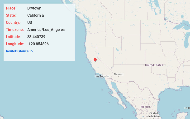
Full AddressDrytown, CA
-
Coordinates38.4407394, -120.8548958
-
LocationDrytown , California , US
-
TimezoneAmerica/Los_Angeles
-
Current Local Time10:10:00 PM America/Los_AngelesWednesday, June 4, 2025
-
Page Views0
About Drytown
Drytown is a census-designated place in Amador County, California. It is located 2.5 miles south of Plymouth on Dry Creek, at an elevation of 646 feet. The population at the 2020 census was 186. The town is registered as a California Historical Landmark. The community is in ZIP code 95699 and area code 209.
Nearby Places
Found 10 places within 50 miles

Amador City
2.2 mi
3.5 km
Amador City, CA
Get directions

Plymouth
2.9 mi
4.7 km
Plymouth, CA 95669
Get directions

Sutter Creek
4.4 mi
7.1 km
Sutter Creek, CA
Get directions

Martell
5.7 mi
9.2 km
Martell, CA
Get directions

Ione
7.4 mi
11.9 km
Ione, CA
Get directions

Jackson
7.7 mi
12.4 km
Jackson, CA 95642
Get directions

River Pines
9.4 mi
15.1 km
River Pines, CA
Get directions

Pine Grove
10.8 mi
17.4 km
Pine Grove, CA
Get directions

Mokelumne Hill
12.6 mi
20.3 km
Mokelumne Hill, CA 95245
Get directions
Red Corral
13.4 mi
21.6 km
Red Corral, CA
Get directions
Location Links
Local Weather
Weather Information
Coming soon!
Location Map
Static map view of Drytown, California
Browse Places by Distance
Places within specific distances from Drytown
Short Distances
Long Distances
Click any distance to see all places within that range from Drytown. Distances shown in miles (1 mile ≈ 1.61 kilometers).