Distance to Martell, California

Calculating Your Route
Just a moment while we process your request...
Location Information
-
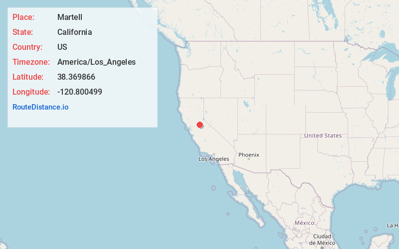
Full AddressMartell, CA
-
Coordinates38.3698661, -120.800499
-
LocationMartell , California , US
-
TimezoneAmerica/Los_Angeles
-
Current Local Time7:51:22 PM America/Los_AngelesThursday, May 29, 2025
-
Page Views0
About Martell
Martell is a census-designated place in Amador County, California, United States. It is located 1.5 miles northwest of Jackson, at an elevation of 1486 feet. The population was 207 at the 2020 census.
Martell is located west of Jackson and east of Ione, by which it is connected by the Amador Central Railroad.
Nearby Places
Found 10 places within 50 miles

Sutter Creek
1.6 mi
2.6 km
Sutter Creek, CA
Get directions

Jackson
2.0 mi
3.2 km
Jackson, CA 95642
Get directions

Mokelumne Hill
7.0 mi
11.3 km
Mokelumne Hill, CA 95245
Get directions

Ione
7.3 mi
11.7 km
Ione, CA
Get directions

Plymouth
8.1 mi
13.0 km
Plymouth, CA 95669
Get directions

Pine Grove
8.2 mi
13.2 km
Pine Grove, CA
Get directions

Red Corral
10.8 mi
17.4 km
Red Corral, CA
Get directions

Camanche Village
11.6 mi
18.7 km
Camanche Village, CA 95640
Get directions

Camanche North Shore
11.7 mi
18.8 km
Camanche North Shore, CA 95640
Get directions

Pioneer
12.2 mi
19.6 km
Pioneer, CA 95666
Get directions
Location Links
Local Weather
Weather Information
Coming soon!
Location Map
Static map view of Martell, California
Browse Places by Distance
Places within specific distances from Martell
Short Distances
Long Distances
Click any distance to see all places within that range from Martell. Distances shown in miles (1 mile ≈ 1.61 kilometers).