Distance to Carbur, Florida

Calculating Your Route
Just a moment while we process your request...
Location Information
-
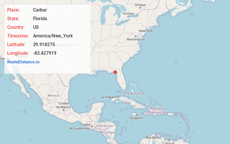
Full AddressCarbur, FL 32348
-
Coordinates29.918275, -83.4279193
-
LocationFlorida , US
-
TimezoneAmerica/New_York
-
Current Local Time6:56:35 PM America/New_YorkTuesday, June 17, 2025
-
Page Views0
Nearby Places
Found 10 places within 50 miles

Salem
2.3 mi
3.7 km
Salem, FL 32348
Get directions
Athena
6.2 mi
10.0 km
Athena, FL 32348
Get directions
Pinland
9.1 mi
14.6 km
Pinland, FL 32348
Get directions
Clara
10.6 mi
17.1 km
Clara, FL 32359
Get directions

Keaton Beach
11.9 mi
19.2 km
Keaton Beach, FL 32348
Get directions
Foley
12.1 mi
19.5 km
Foley, FL 32348
Get directions

Dekle Beach
12.4 mi
20.0 km
Dekle Beach, FL 32348
Get directions
Fish Creek
12.6 mi
20.3 km
Fish Creek, FL 32348
Get directions

Perry
16.2 mi
26.1 km
Perry, FL
Get directions
Jonesboro
16.3 mi
26.2 km
Jonesboro, FL 32359
Get directions
Location Links
Local Weather
Weather Information
Coming soon!
Location Map
Static map view of Carbur, Florida
Browse Places by Distance
Places within specific distances from Carbur
Short Distances
Long Distances
Click any distance to see all places within that range from Carbur. Distances shown in miles (1 mile ≈ 1.61 kilometers).