Distance to Keaton Beach, Florida

Calculating Your Route
Just a moment while we process your request...
Location Information
-
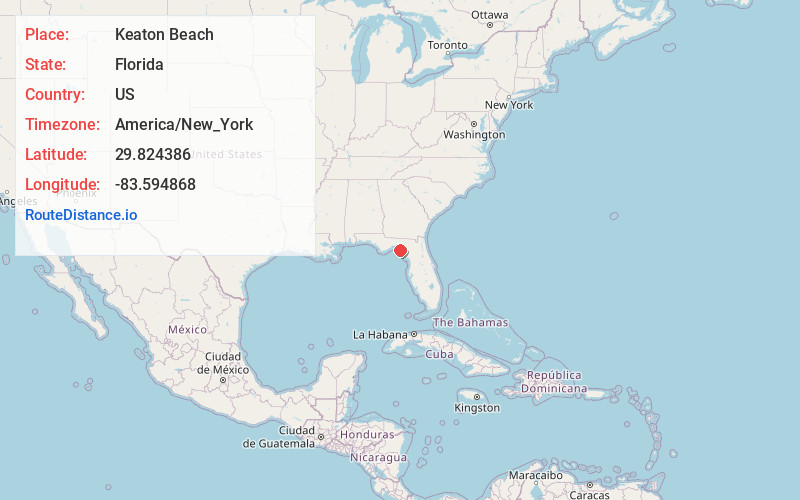
Full AddressKeaton Beach, FL 32348
-
Coordinates29.8243861, -83.5948677
-
LocationFlorida , US
-
TimezoneAmerica/New_York
-
Current Local Time8:59:57 PM America/New_YorkTuesday, June 17, 2025
-
Page Views0


Nearby Places
Found 10 places within 50 miles

Dekle Beach
2.3 mi
3.7 km
Dekle Beach, FL 32348
Get directions

Fish Creek
3.0 mi
4.8 km
Fish Creek, FL 32348
Get directions

Steinhatchee
16.3 mi
26.2 km
Steinhatchee, FL 32359
Get directions
Jonesboro
19.5 mi
31.4 km
Jonesboro, FL 32359
Get directions

Perry
19.9 mi
32.0 km
Perry, FL
Get directions

Mayo
29.7 mi
47.8 km
Mayo, FL 32066
Get directions

Cross City
31.2 mi
50.2 km
Cross City, FL 32628
Get directions
Day
31.3 mi
50.4 km
Day, FL 32066
Get directions
Alton
31.6 mi
50.9 km
Alton, FL 32066
Get directions

Horseshoe Beach
32.3 mi
52.0 km
Horseshoe Beach, FL 32648
Get directions
Location Links
Local Weather
Weather Information
Coming soon!
Location Map
Static map view of Keaton Beach, Florida
Browse Places by Distance
Places within specific distances from Keaton Beach
Short Distances
Long Distances
Click any distance to see all places within that range from Keaton Beach. Distances shown in miles (1 mile ≈ 1.61 kilometers).