Distance to Horseshoe Beach, Florida

Calculating Your Route
Just a moment while we process your request...
Location Information
-
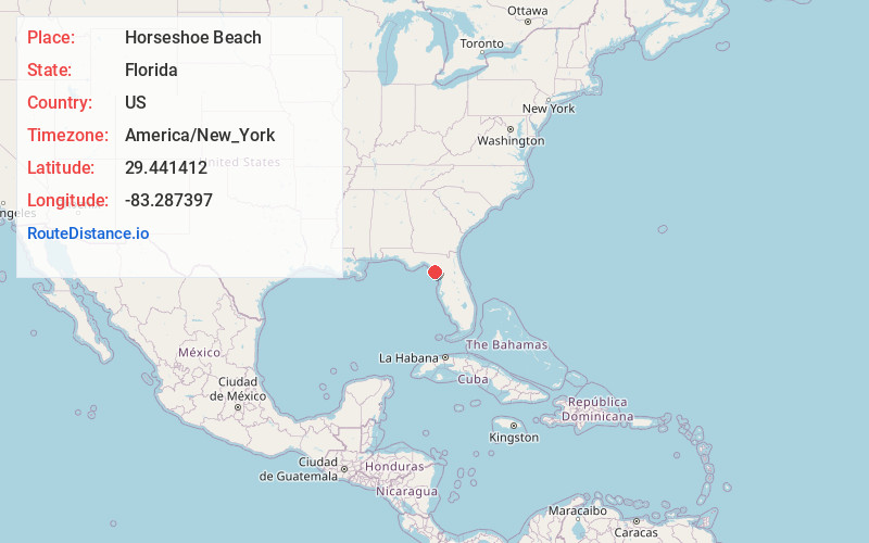
Full AddressHorseshoe Beach, FL 32648
-
Coordinates29.4414118, -83.2873971
-
LocationHorseshoe Beach , Florida , US
-
TimezoneAmerica/New_York
-
Current Local Time12:08:45 AM America/New_YorkFriday, June 20, 2025
-
Page Views0
About Horseshoe Beach
Horseshoe Beach is a town in southern Dixie County, Florida, United States. The town is part of Big Bend and the Nature Coast in North Florida, along the Gulf of Mexico. The population was 165 at the 2020 census.


Nearby Places
Found 10 places within 50 miles

Cross City
16.6 mi
26.7 km
Cross City, FL 32628
Get directions

Steinhatchee
17.0 mi
27.4 km
Steinhatchee, FL 32359
Get directions

Manattee Rd
23.0 mi
37.0 km
Manattee Rd, FL
Get directions

Fanning Springs
23.9 mi
38.5 km
Fanning Springs, FL 32693
Get directions

Andrews
24.8 mi
39.9 km
Andrews, FL
Get directions

Cedar Key
25.9 mi
41.7 km
Cedar Key, FL 32625
Get directions

Chiefland
25.9 mi
41.7 km
Chiefland, FL 32626
Get directions

Trenton
30.6 mi
49.2 km
Trenton, FL 32693
Get directions

Otter Creek
32.1 mi
51.7 km
Otter Creek, FL 32626
Get directions

Bell
33.5 mi
53.9 km
Bell, FL 32619
Get directions
Location Links
Local Weather
Weather Information
Coming soon!
Location Map
Static map view of Horseshoe Beach, Florida
Browse Places by Distance
Places within specific distances from Horseshoe Beach
Short Distances
Long Distances
Click any distance to see all places within that range from Horseshoe Beach. Distances shown in miles (1 mile ≈ 1.61 kilometers).