Distance to and from Carey, New Jersey
Carey, Roxbury Township, NJ 07836
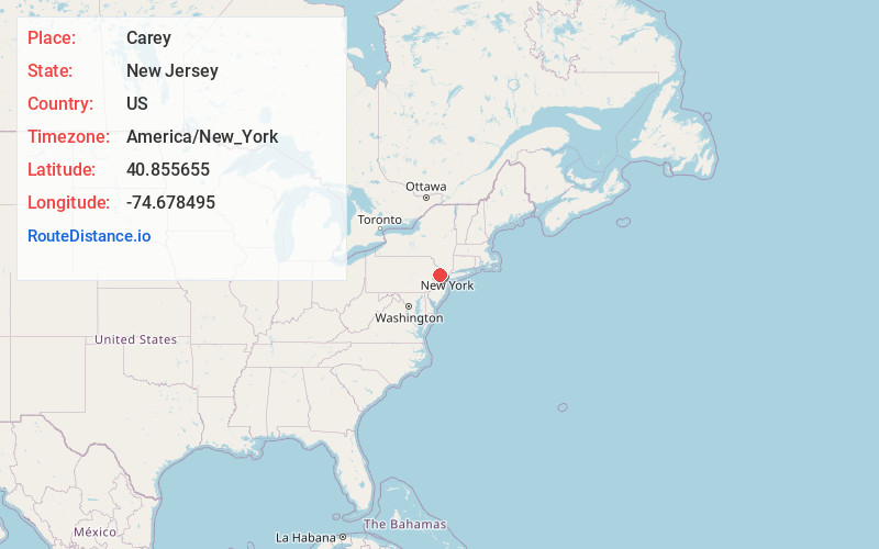
Roxbury Township
New Jersey
US
America/New_York
Location Information
-
Full AddressCarey, Roxbury Township, NJ 07836
-
Coordinates40.8556548, -74.6784949
-
NeighborhoodSuccasunna
-
LocationRoxbury Township , New Jersey , US
-
TimezoneAmerica/New_York
-
Current Local Time7:46:42 PM America/New_YorkSaturday, May 3, 2025
-
Page Views0
Directions to Nearest Cities
Nearby Places
Found 10 places within 50 miles

Roxbury Township
2.1 mi
3.4 km
Roxbury Township, NJ
Get directions

Mt Olive
3.1 mi
5.0 km
Mt Olive, NJ
Get directions

Netcong
3.1 mi
5.0 km
Netcong, NJ
Get directions

Stanhope
3.9 mi
6.3 km
Stanhope, NJ 07874
Get directions

Mine Hill Township
4.3 mi
6.9 km
Mine Hill Township, NJ
Get directions

Randolph
4.7 mi
7.6 km
Randolph, NJ
Get directions

Coleman Hollow
4.8 mi
7.7 km
Coleman Hollow, Randolph, NJ 07945
Get directions

Chester
5.1 mi
8.2 km
Chester, NJ 07930
Get directions

Byram Township
5.3 mi
8.5 km
Byram Township, NJ
Get directions
Naughright
5.4 mi
8.7 km
Naughright, Washington Township, NJ 07853
Get directions
Roxbury Township
2.1 mi
3.4 km
Roxbury Township, NJ
Mt Olive
3.1 mi
5.0 km
Mt Olive, NJ
Netcong
3.1 mi
5.0 km
Netcong, NJ
Stanhope
3.9 mi
6.3 km
Stanhope, NJ 07874
Mine Hill Township
4.3 mi
6.9 km
Mine Hill Township, NJ
Randolph
4.7 mi
7.6 km
Randolph, NJ
Coleman Hollow
4.8 mi
7.7 km
Coleman Hollow, Randolph, NJ 07945
Chester
5.1 mi
8.2 km
Chester, NJ 07930
Byram Township
5.3 mi
8.5 km
Byram Township, NJ
Naughright
5.4 mi
8.7 km
Naughright, Washington Township, NJ 07853
Location Links
Local Weather
Weather Information
Coming soon!
Location Map
Static map view of Carey, New Jersey
Browse Places by Distance
Places within specific distances from Carey
Short Distances
Long Distances
Click any distance to see all places within that range from Carey. Distances shown in miles (1 mile ≈ 1.61 kilometers).