Distance to Carmack, Missouri

Calculating Your Route
Just a moment while we process your request...
Location Information
-
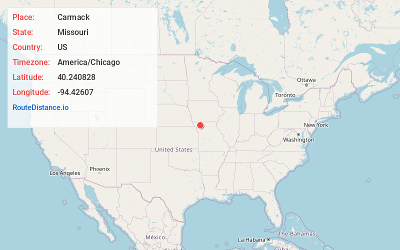
Full AddressCarmack, Huggins Township, MO 64402
-
Coordinates40.2408276, -94.4260695
-
LocationHuggins Township , Missouri , US
-
TimezoneAmerica/Chicago
-
Current Local Time9:04:32 PM America/ChicagoThursday, May 29, 2025
-
Page Views0
Nearby Places
Found 10 places within 50 miles

McCurry
2.3 mi
3.7 km
McCurry, Cooper Township, MO 64438
Get directions
Darlington
3.3 mi
5.3 km
Darlington, MO 64438
Get directions

Albany
5.0 mi
8.0 km
Albany, MO 64402
Get directions
Evona
5.9 mi
9.5 km
Evona, Athens Township, MO 64402
Get directions
Stanberry
6.1 mi
9.8 km
Stanberry, MO 64489
Get directions
Gentry
6.3 mi
10.1 km
Gentry, MO 64453
Get directions
Alanthus Grove
7.7 mi
12.4 km
Alanthus Grove, MO 64489
Get directions
Ellenorah
8.4 mi
13.5 km
Ellenorah, Howard Township, MO 64402
Get directions
Ford City
9.2 mi
14.8 km
Ford City, Jackson Township, MO 64463
Get directions
Enyart
10.6 mi
17.1 km
Enyart, Wilson Township, MO 64479
Get directions
Location Links
Local Weather
Weather Information
Coming soon!
Location Map
Static map view of Carmack, Missouri
Browse Places by Distance
Places within specific distances from Carmack
Short Distances
Long Distances
Click any distance to see all places within that range from Carmack. Distances shown in miles (1 mile ≈ 1.61 kilometers).