Distance to Enyart, Missouri

Calculating Your Route
Just a moment while we process your request...
Location Information
-
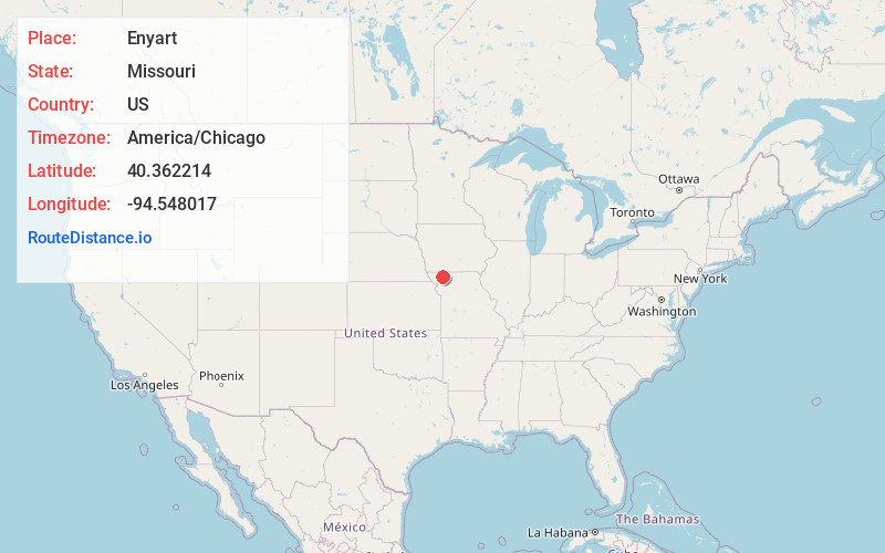
Full AddressEnyart, Wilson Township, MO 64479
-
Coordinates40.3622135, -94.548017
-
LocationWilson Township , Missouri , US
-
TimezoneAmerica/Chicago
-
Current Local Time9:59:49 PM America/ChicagoWednesday, July 2, 2025
-
Page Views0
Nearby Places
Found 10 places within 50 miles

Alanthus Grove
3.8 mi
6.1 km
Alanthus Grove, MO 64489
Get directions
Worth
6.2 mi
10.0 km
Worth, MO 64499
Get directions
Ravenwood
6.7 mi
10.8 km
Ravenwood, MO 64479
Get directions
Parnell
6.7 mi
10.8 km
Parnell, MO 64475
Get directions
Gentry
7.0 mi
11.3 km
Gentry, MO 64453
Get directions
Clyde
9.0 mi
14.5 km
Clyde, MO
Get directions
Conception Junction
10.0 mi
16.1 km
Conception Junction, MO 64434
Get directions
Stanberry
10.0 mi
16.1 km
Stanberry, MO 64489
Get directions
Grant City
11.3 mi
18.2 km
Grant City, MO 64456
Get directions

Sheridan
11.3 mi
18.2 km
Sheridan, MO 64486
Get directions
Location Links
Local Weather
Weather Information
Coming soon!
Location Map
Static map view of Enyart, Missouri
Browse Places by Distance
Places within specific distances from Enyart
Short Distances
Long Distances
Click any distance to see all places within that range from Enyart. Distances shown in miles (1 mile ≈ 1.61 kilometers).