Distance to Carmel-By-The-Sea, California

Calculating Your Route
Just a moment while we process your request...
Location Information
-
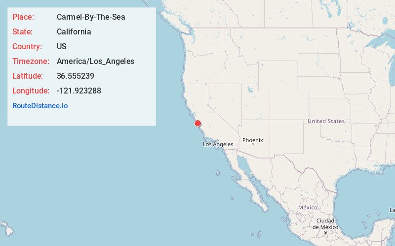
Full AddressCarmel-By-The-Sea, CA 93921
-
Coordinates36.5552386, -121.9232879
-
LocationCarmel-By-The-Sea , California , US
-
TimezoneAmerica/Los_Angeles
-
Current Local Time11:25:06 AM America/Los_AngelesSunday, June 1, 2025
-
Website
-
Page Views0
About Carmel-By-The-Sea
Carmel-by-the-Sea is a small beach city on California's Monterey Peninsula. It's known for the museums and library of the historic Carmel Mission, and the fairytale cottages and galleries of its village-like center. The Scenic Bluff Path runs from surf spot Carmel Beach to bird-rich Carmel River State Beach, with a scuba entry point. South lie the sea animals and whaling museum of Point Lobos State Natural Reserve.


Nearby Places
Found 10 places within 50 miles

Hacienda Carmel
2.8 mi
4.5 km
Hacienda Carmel, CA 93923
Get directions

Cypress Grove
2.8 mi
4.5 km
Cypress Grove, California 93923
Get directions

Monterey
3.2 mi
5.1 km
Monterey, CA
Get directions
Quail Meadows
3.4 mi
5.5 km
Quail Meadows, CA 93923
Get directions

Carmel Highlands
3.6 mi
5.8 km
Carmel Highlands, CA 93923
Get directions

Pacific Grove
4.3 mi
6.9 km
Pacific Grove, CA
Get directions

Del Rey Oaks
5.6 mi
9.0 km
Del Rey Oaks, CA 93940
Get directions

Sand City
6.0 mi
9.7 km
Sand City, CA
Get directions
Rancho Tierra Grande
6.9 mi
11.1 km
Rancho Tierra Grande, CA 93923
Get directions

Seaside
7.0 mi
11.3 km
Seaside, CA
Get directions
Location Links
Local Weather
Weather Information
Coming soon!
Location Map
Static map view of Carmel-By-The-Sea, California
Browse Places by Distance
Places within specific distances from Carmel-By-The-Sea
Short Distances
Long Distances
Click any distance to see all places within that range from Carmel-By-The-Sea. Distances shown in miles (1 mile ≈ 1.61 kilometers).